


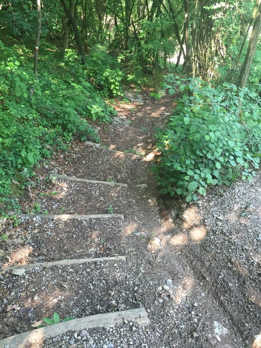
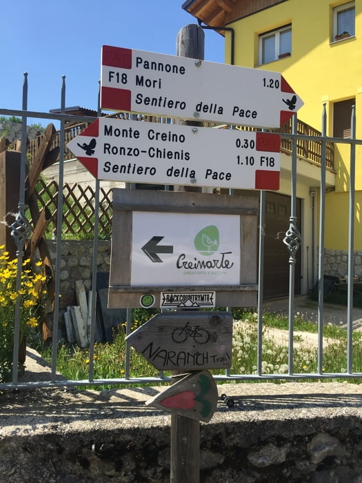
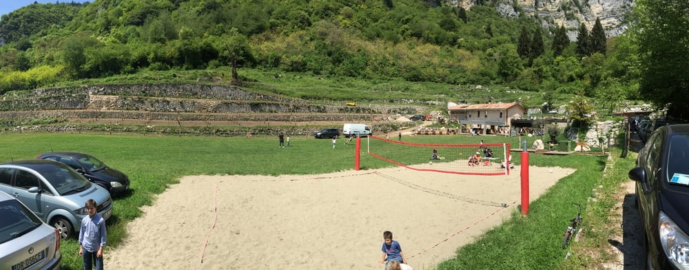
Schöne Tour von Arco über Bolognano, die Schotterstrasse entlang bergauf und am Ende über den schönen Weg Nr. 637 bis nach Santa Barbara - Einkehrmöglichkeit im Alb. Genzianella - danach dem Track folgend mit leichtem Anstieg bis zum Einstieg des Naranch Trails (Hm ca.1230m), danach folgt ein technisch anspruchsvoller Trail bis hinunter nach Nago - inzwischen gibt es noch eine Einkehrmöglichkeit bei der "Naranch" ca. auf halber Höhe des Trails - woher dieser Trail anscheinend auch seinen Namen hat ;-) In Nago angekommen gönnt man sich entweder ein Eis oder fährt links neben der Hauptstrasse über einen sehr schönen Radweg retour nach Arco.
Tour gallery

Tour map and elevation profile
Minimum height 75 m
Maximum height 1273 m
More about the tour author

|
Tom_Steiermark |
Comments

GPS tracks
Trackpoints-
GPX / Garmin Map Source (gpx) download
-
TCX / Garmin Training Center® (tcx) download
-
CRS / Garmin Training Center® (crs) download
-
Google Earth (kml) download
-
G7ToWin (g7t) download
-
TTQV (trk) download
-
Overlay (ovl) download
-
Fugawi (txt) download
-
Kompass (DAV) Track (tk) download
-
Track data sheet (pdf) download
-
Original file of the author (gpx) download
More about the tour author
|
|
Tom_Steiermark |
Add to my favorites
Remove from my favorites
Edit tags
Open track
My score
Rate