
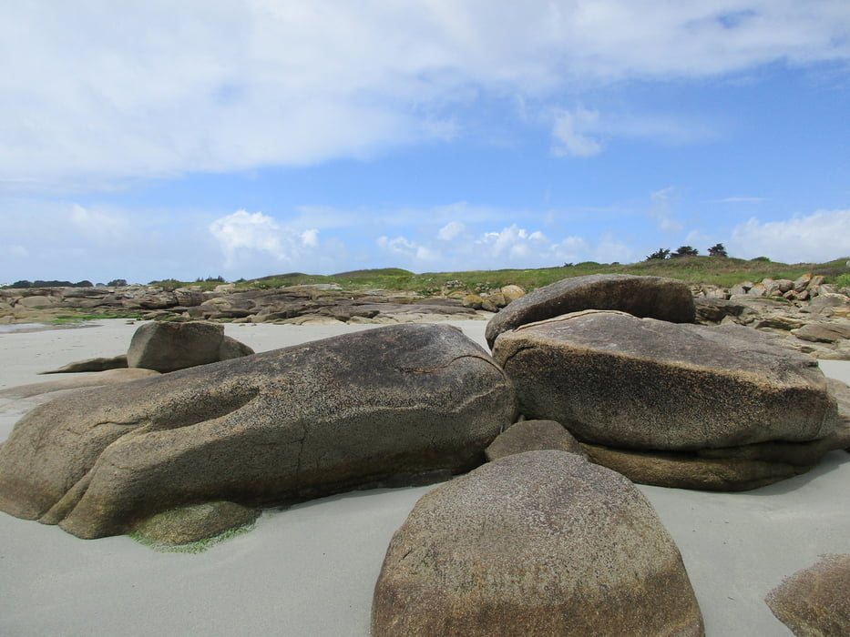

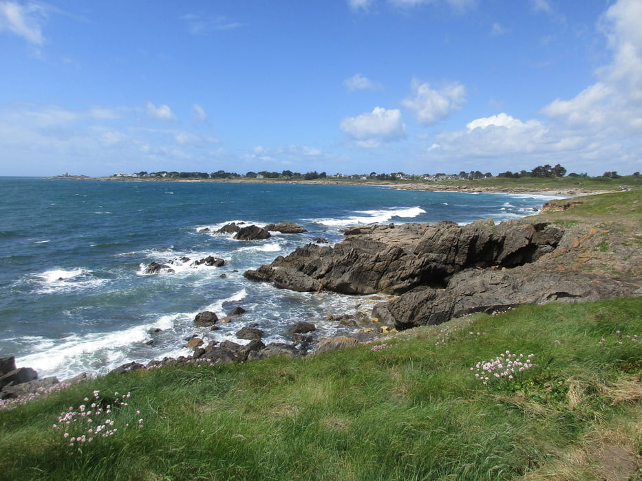
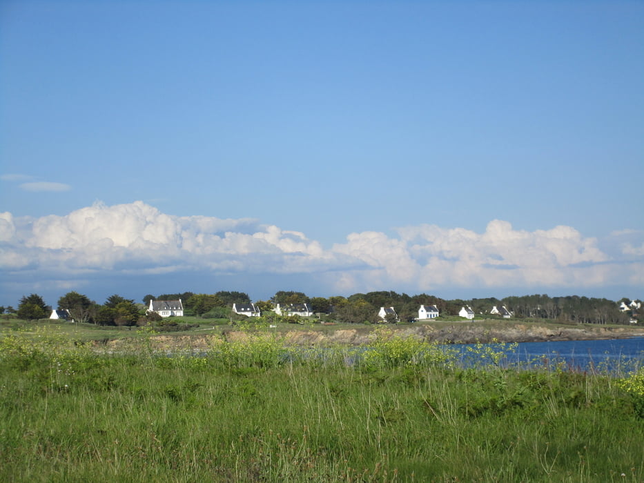
Wir starten unsere abendliche Runde am Strand von Kersidan, am Chemin des Sables. Es geht zunächst auf dem Sentier Côtier durch die Dünen bis zur Küstenstraße, der Route de la Corniche. Die wird überquert und wir schlagen uns auf dem Hent Keryann in die Büsche. Dabei zunächst immer schön auf dem Asphalt bleiben, um nach rechts nicht in einer Sackgasse zu landen. Dann geht der Hent Keryann rechts weg und wir halten uns links, wandern auf grünem Untergrund weiter. Wir erreichen den Hent-An-Aod, der uns hinüber zum Atlantik führt. Die Route de la Corniche wird wieder überquert und wir spazieren am Plage de Don entlang, umrunden dann die Pointe de Kerjean und flanieren danach abschließend den Plage de Kersidan entlang, um dann schon zum Ausgangspunkt unserer Runde zurückzukommen.
Tour gallery


Tour map and elevation profile
Minimum height -17 m
Maximum height 44 m
More about the tour author
|
|
Sigi2910 |
Comments

GPS tracks
Trackpoints-
GPX / Garmin Map Source (gpx) download
-
TCX / Garmin Training Center® (tcx) download
-
CRS / Garmin Training Center® (crs) download
-
Google Earth (kml) download
-
G7ToWin (g7t) download
-
TTQV (trk) download
-
Overlay (ovl) download
-
Fugawi (txt) download
-
Kompass (DAV) Track (tk) download
-
Track data sheet (pdf) download
-
Original file of the author (gpx) download
More about the tour author
|
|
Sigi2910 |
Add to my favorites
Remove from my favorites
Edit tags
Open track
My score
Rate