Login

Forgot your login?

Cookies have to be accepted!
Your browser's cookie functionality is disabled. Please enable this functionality.

Not a member yet?

Register now
Login

Available for registred users only

Log in to use this feature.

Forgot your login?

Cookies have to be accepted!
Your browser's cookie functionality is disabled. Please enable this functionality.

Not a member yet?

Register now
Filter
Categories
Advanced filters
  • Distance (km)
  • Height
Save filters Reset filter

TrackRank

QRCode

Technical data

Distance25,8 km Height386 m Way down384 m Duration01:30 h:m Date28.04.2008
Scores Author Landscape Fun factor Fitness Technique

Statistics

279 Views Scores 48 Downloads Average
Rate
  • Track data sheet
  • Directions
  • Downloads
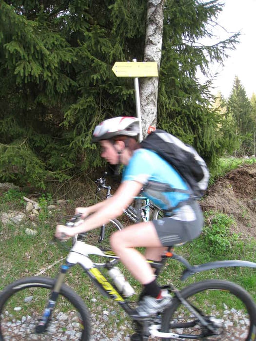
Eine gemütliche Runde ohne spezielle Anforderungen. Sehr sonnig angelegt, damit gut für den noch nicht allzu warmen Saisonstart geeignet.

Tour gallery

Tour map and elevation profile

  • Open Street Map
  • Google
Minimum height 561 m Maximum height 785 m Detailed view

More about the tour author

rjkas
Member since 2003

Send private message

Comments

GPS tracks

Trackpoints
  • GPX / Garmin Map Source (gpx) download
  • TCX / Garmin Training Center® (tcx) download
  • CRS / Garmin Training Center® (crs) download
  • Google Earth (kml) download
  • G7ToWin (g7t) download
  • TTQV (trk) download
  • Overlay (ovl) download
  • Fugawi (txt) download
  • Kompass (DAV) Track (tk) download
  • Track data sheet (pdf) download
  • Original file of the author (g7t) download

More about the tour author

rjkas
Member since 2003

Send private message
Share track
Add to my favorites
Remove from my favorites
Edit tags
My score
Rate
Track: Von Freistadt über Oberpassberg zum Lubinger
Type: Mountain bike
Distance: 25,8 km
Evaluated on:
Duration:
Day(s)
Hour(s)
Minute(s)
Score: Landscape Fun factor Fitness Technique