Login

Forgotten password?

Cookies have to be accepted!
Your browser's cookie functionality is disabled. Please enable this functionality.

Not a member yet?

Register now
Login

Available for registred users only

Log in to use this feature.

Forgotten password?

Cookies have to be accepted!
Your browser's cookie functionality is disabled. Please enable this functionality.

Not a member yet?

Register now
Filter
Categories
Advanced filters
  • Distance (km)
  • Height
Save filters Reset filter

TrackRank

QRCode

Technical data

Distance12,9 km Height250 m Way down243 m Duration00:00 h:m Date14.06.2016
Scores Author Landscape Fun factor Fitness Technique

Statistics

220 Views Scores 97 Downloads Average
Rate
  • Track data sheet
  • Directions
  • Downloads

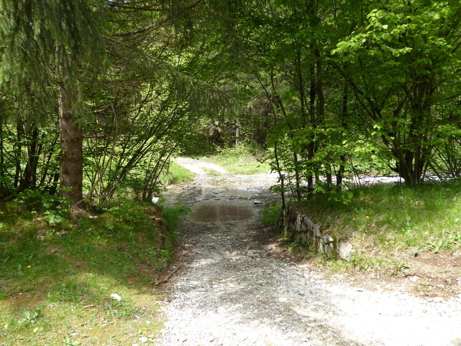
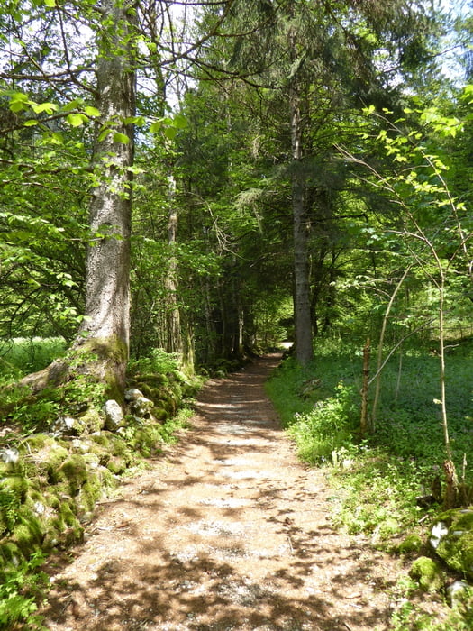
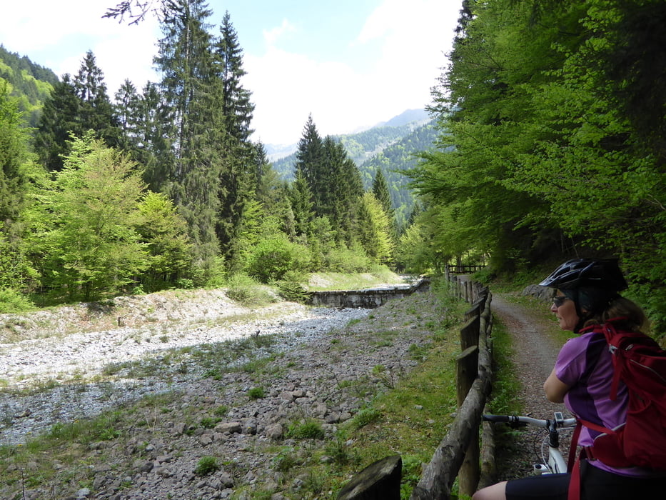
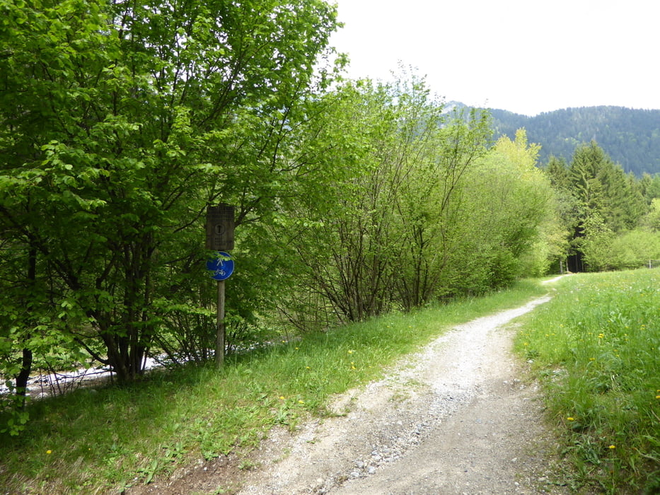
Das Val Concai ist ein Nebental des Ledrotales.

Sehr ruhig - sehr gemütlich - verkehrsberuhigt - auf Wander und Radweg ins Tal hinein - auf parallelem Weg heraus.

Am Zenit der Tour die Möglichkeit zur Einkehr.


Tour gallery

Tour map and elevation profile

  • Open Street Map
  • Google
Minimum height 728 m Maximum height 968 m Detailed view

More about the tour author

Hoar
Member since 2009

Send private message

Comments

Bezzecca

GPS tracks

Trackpoints
  • GPX / Garmin Map Source (gpx) download
  • TCX / Garmin Training Center® (tcx) download
  • CRS / Garmin Training Center® (crs) download
  • Google Earth (kml) download
  • G7ToWin (g7t) download
  • TTQV (trk) download
  • Overlay (ovl) download
  • Fugawi (txt) download
  • Kompass (DAV) Track (tk) download
  • Track data sheet (pdf) download
  • Original file of the author (gpx) download

More about the tour author

Hoar
Member since 2009

Send private message
Share track
Add to my favorites
Remove from my favorites
Edit tags
My score
Rate
Track: Val Concai von Bezzecca
Type: Mountain bike
Distance: 12,9 km
Evaluated on:
Duration:
Day(s)
Hour(s)
Minute(s)
Score: Landscape Fun factor Fitness Technique