


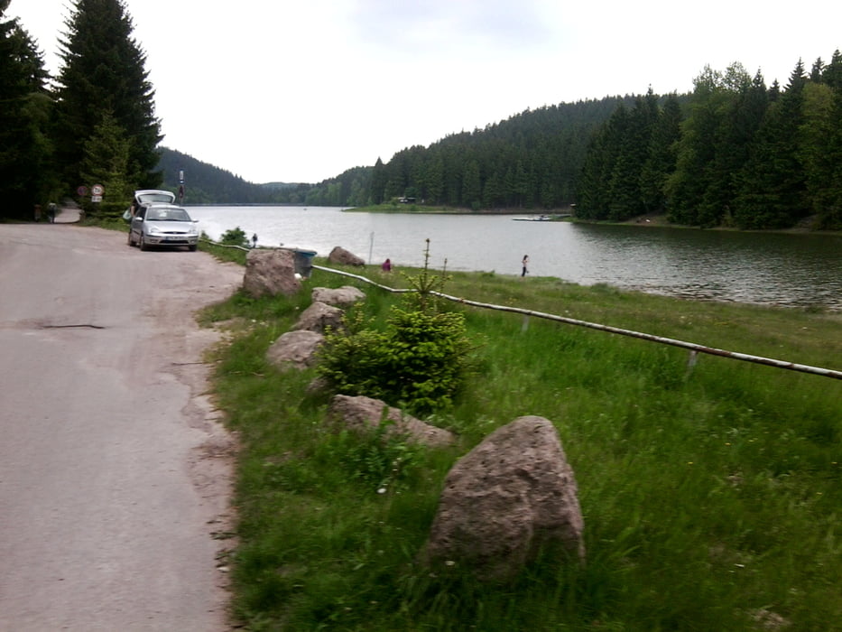
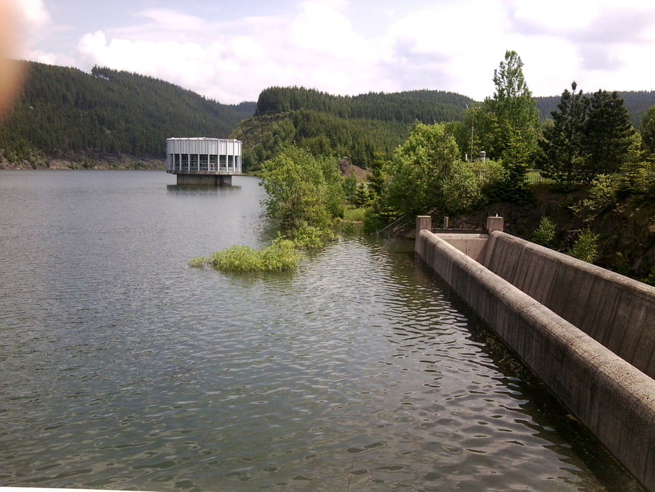
Meine Tour beginnt wieder in Gotha. Sehr schöne Runde durch den Thüringer Wald. Vorbei an Ohra-, Schmalwasser- und Lütschetalsperre. Es geht ständig auf und ab. Man sollte eine gute Kondition haben. Denn auch diese Tour ist recht anspruchsvoll.
Einfach mal nachfahren!
Further information at
https://www.thueringer-wald.com/urlaub-wandern-winter/index.htmlTour gallery


Tour map and elevation profile
Minimum height 292 m
Maximum height 862 m
More about the tour author
|
|
Stampie |
Comments

Los gehts ab Gotha. Man kann aber auch sich irgendwo im Thüringer Wald sich einfach einklinken und abfahren.
GPS tracks
Trackpoints-
GPX / Garmin Map Source (gpx) download
-
TCX / Garmin Training Center® (tcx) download
-
CRS / Garmin Training Center® (crs) download
-
Google Earth (kml) download
-
G7ToWin (g7t) download
-
TTQV (trk) download
-
Overlay (ovl) download
-
Fugawi (txt) download
-
Kompass (DAV) Track (tk) download
-
Track data sheet (pdf) download
-
Original file of the author (gpx) download
More about the tour author
|
|
Stampie |
Add to my favorites
Remove from my favorites
Edit tags
Open track
My score
Rate