


route:
Sterneck, Lossburg, 24-Höfe, Betzweiler, Wälde, Salzenweiler, Sterneck
description:
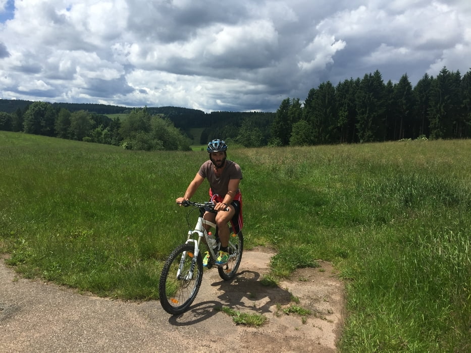
After start there is a steep hill to the Nachtberg. A nice way leads to Lossburg, this way is also a part of the Jacobs Pilgrim Way. Before Lossburg the way is most time on asphalt, on a quite road along 24-Höfe. There are many view points to the "Schwäbische Alb" with maybe "Hohenzoller castle" and areas of the black forest.
24-Höfe is not a typical village in ancient time in this area there were 24 farms. Because of this, a name, which is not typical. There is not a structure of village. The farms are each sparate in a natural area. They were founded as 24-Höfe in 1831. https://de.wikipedia.org/wiki/24-H%C3%B6fe
At the end of 24-Höfe there is al little downhill trail to Betzweiler. Now it's a very nice way beside the Heimbach from Betzweiler to Wälde.
In Wälde we took again a steep uphill trail to Salzenweiler. There is very nice viewpoint to see the village of Sterneck. Again downhill to Heimbach valley and last uphill to Sterneck.
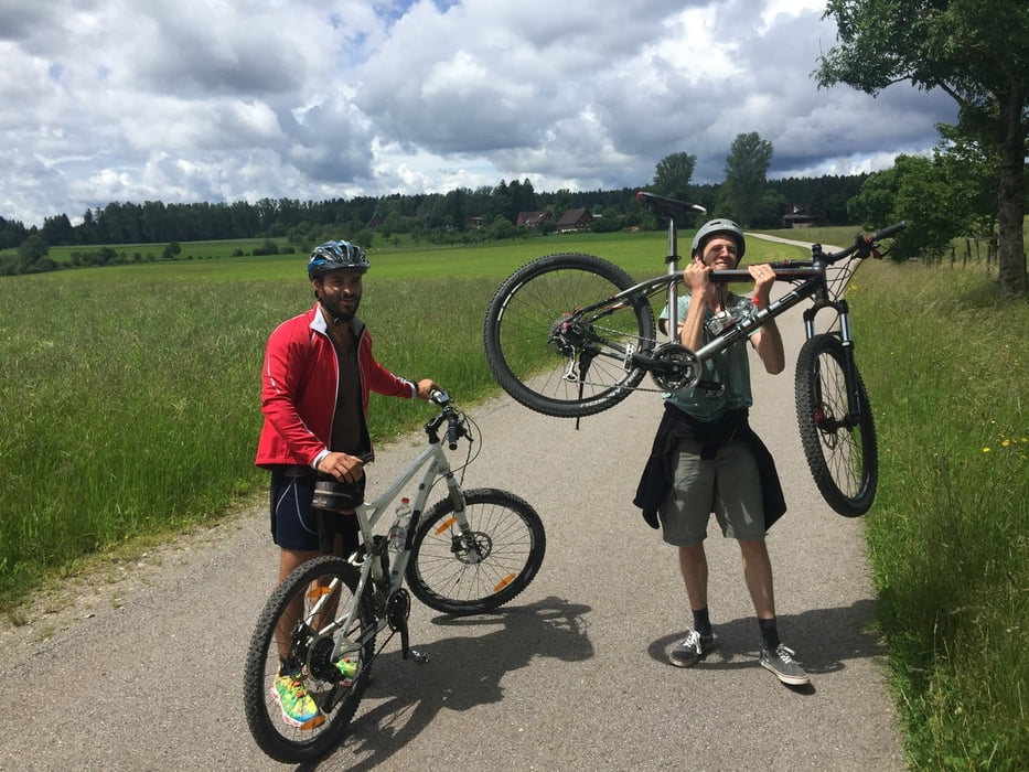
I made this Tour with my friends at 2016-06-18.
Normally I write the description in german, but for my israeli friend Liad I wrote it in English, he said he enjoyed the tour.
.-.-.-.-.-.-.-.-.-.-.-.-.-.-.-.-.-.-.-.-.-.-.-.-.-.-.-.-.-.-.-.-.-.-.-.-.-.-.-.-.-.-.-.-.-.-.-.-.-.-.-.-.-.-.-.-.-.-.-.-.-.-.-.-.-.-.-.-.-.-.-.-.-.-.-.-.-.-.-.-.-.-.-.-.-.-.-.-.-.-.
Further information at
http://www.lossburg.de/en/Tour gallery

Tour map and elevation profile
Minimum height 530 m
Maximum height 702 m
More about the tour author
|
|
elmabarth |
Comments

Start:
At busstop in Sterneck.
Tour can be driven in clockwise an anticlickwise direction.
GPS tracks
Trackpoints-
GPX / Garmin Map Source (gpx) download
-
TCX / Garmin Training Center® (tcx) download
-
CRS / Garmin Training Center® (crs) download
-
Google Earth (kml) download
-
G7ToWin (g7t) download
-
TTQV (trk) download
-
Overlay (ovl) download
-
Fugawi (txt) download
-
Kompass (DAV) Track (tk) download
-
Track data sheet (pdf) download
-
Original file of the author (gpx) download
More about the tour author
|
|
elmabarth |
Add to my favorites
Remove from my favorites
Edit tags
Open track
My score
Rate