


Vom Parkplatz halbrechts in den Wald: der Weg ist sehr gut ausgezeichnet!
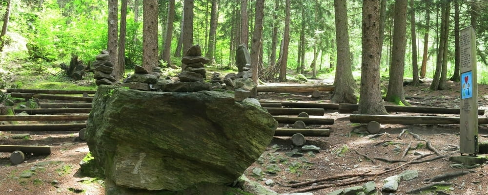
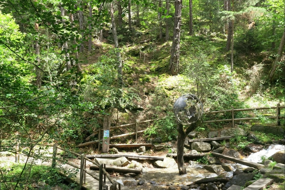
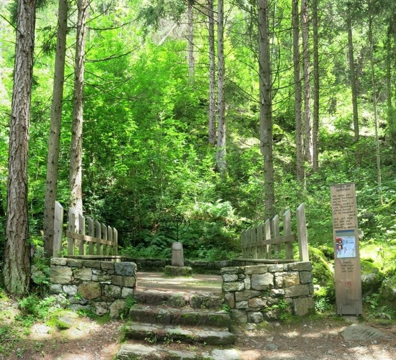
Wir haben ihn das erste Mal bei Nebel und starkem Regen gemacht:beeindruckender als bei Sonnenschein und beinahe mystisch.
Die Fotos sind beim zweiten, sonnigen Rundgang entstanden!
Hinweis: bei/ nach Regen rutschfeste Sohlen, es gibt einige steinige und z.T. glatte Auf- und Abwärts- Passagen.
Für stärker Gehbehinderte stellenweise ziemlich anstrengend.
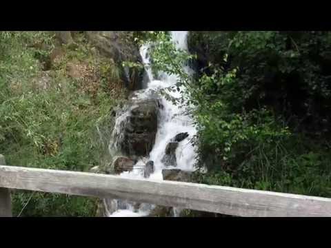
HINWEIS zum Video:
Mit Mozilla Firefox und Flash- Player Plugin startet das Video direkt.
Andernfalls verwendet ihr in eurem Browser den Link:
https://www.google.de/#q=yh-hmlU94Sw
Tour gallery
Tour map and elevation profile
Minimum height 569 m
Maximum height 774 m
More about the tour author
|
|
heinz-57 |
Comments

Von Meran kommend nach Naturns. In Ortsmitte der Bahnhofstraße folgen bis zum Ende:Parkplatz.
GPS tracks
Trackpoints-
GPX / Garmin Map Source (gpx) download
-
TCX / Garmin Training Center® (tcx) download
-
CRS / Garmin Training Center® (crs) download
-
Google Earth (kml) download
-
G7ToWin (g7t) download
-
TTQV (trk) download
-
Overlay (ovl) download
-
Fugawi (txt) download
-
Kompass (DAV) Track (tk) download
-
Track data sheet (pdf) download
-
Original file of the author (gpx) download
More about the tour author
|
|
heinz-57 |
Add to my favorites
Remove from my favorites
Edit tags
Open track
My score
Rate