


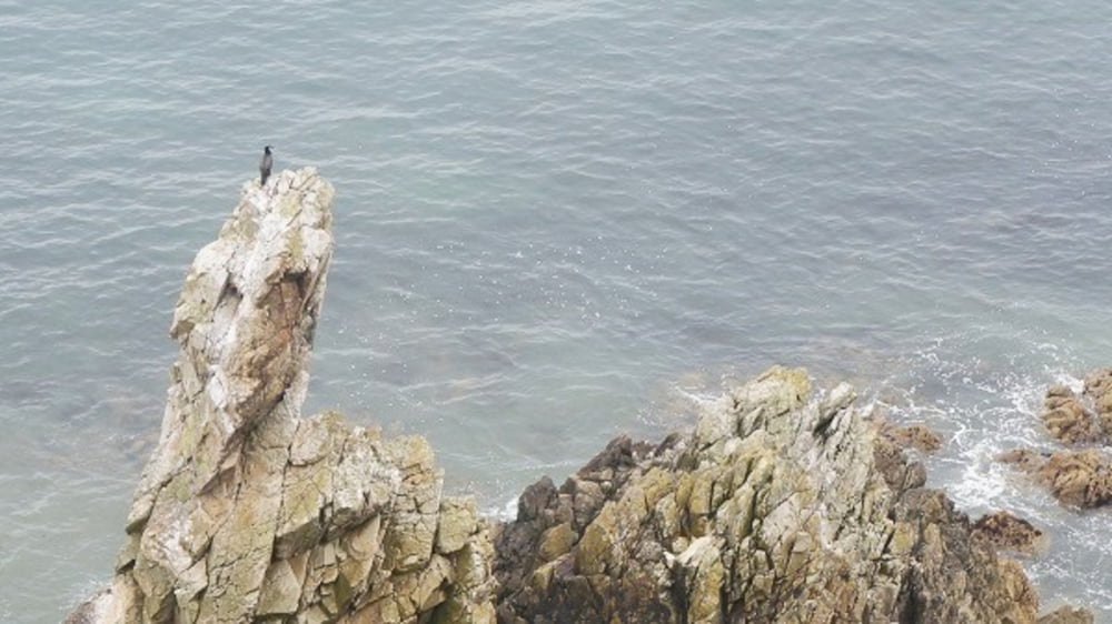
Howth Head bildet die nördliche Grenze der großen Sichel der Dubliner Bucht, abschließend mit Kiliney Head im Süden. Eine mehrstündige Wanderung führt uns rund um diese Halbinsel, grandiose Blicke über das Meer und Dublin erwarten uns. Der zweite Teil der Wanderung führt auf verträumten Pfaden vorbei am Howth Castle zurück zum Ausgangspunkt. Fahrt nach Bray
Further information at
http://www.zuraltenschmiede.beTour gallery


Tour map and elevation profile
Minimum height 6 m
Maximum height 124 m
More about the tour author
|
|
Wanderfrosch1960 |
Comments

Fahrt auf die Halbinsel Howth Head.
GPS tracks
Trackpoints-
GPX / Garmin Map Source (gpx) download
-
TCX / Garmin Training Center® (tcx) download
-
CRS / Garmin Training Center® (crs) download
-
Google Earth (kml) download
-
G7ToWin (g7t) download
-
TTQV (trk) download
-
Overlay (ovl) download
-
Fugawi (txt) download
-
Kompass (DAV) Track (tk) download
-
Track data sheet (pdf) download
-
Original file of the author (gpx) download
More about the tour author
|
|
Wanderfrosch1960 |
Add to my favorites
Remove from my favorites
Edit tags
Open track
My score
Rate