Login

Forgot your login?

Cookies have to be accepted!
Your browser's cookie functionality is disabled. Please enable this functionality.

Not a member yet?

Register now
Login

Available for registred users only

Log in to use this feature.

Forgot your login?

Cookies have to be accepted!
Your browser's cookie functionality is disabled. Please enable this functionality.

Not a member yet?

Register now
Filter
Categories
Advanced filters
  • Distance (km)
  • Height
Save filters Reset filter

TrackRank

QRCode

Technical data

Distance10,0 km Height223 m Way down223 m Duration04:18 h:m Date01.07.2016
Scores Author Landscape Fun factor Fitness Technique

Statistics

214 Views Scores 9 Downloads Average
Rate
  • Track data sheet
  • Directions
  • Downloads
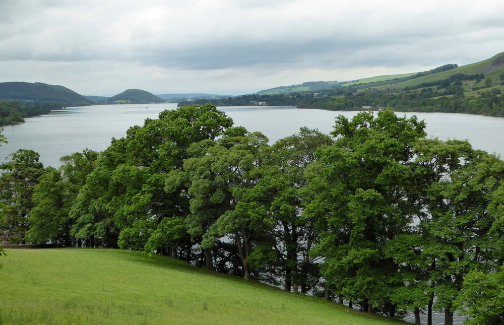
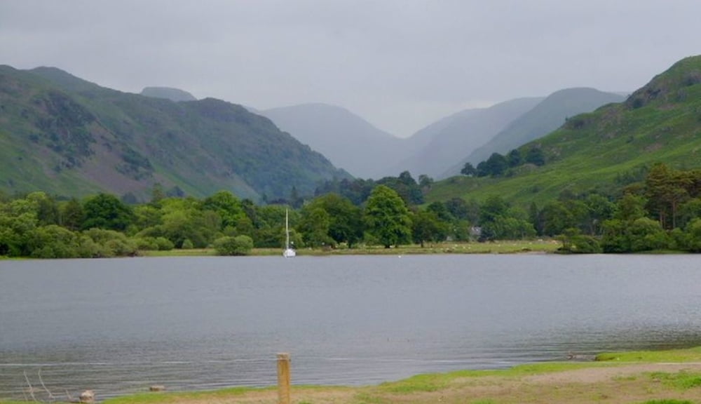
Von Patterdale wandern wir oberhalb des Ullswater-Sees mach Howtown. Von hier kann man mit dem Boot nach Glenridding fahren und von dort in circa 1/2 Stunde nach Patterdale zurückwandern.

Tour gallery

Tour map and elevation profile

  • Open Street Map
  • Google
Minimum height 153 m Maximum height 216 m Detailed view

More about the tour author

horst1508
Member since 2012

Send private message

Comments

GPS tracks

Trackpoints
  • GPX / Garmin Map Source (gpx) download
  • TCX / Garmin Training Center® (tcx) download
  • CRS / Garmin Training Center® (crs) download
  • Google Earth (kml) download
  • G7ToWin (g7t) download
  • TTQV (trk) download
  • Overlay (ovl) download
  • Fugawi (txt) download
  • Kompass (DAV) Track (tk) download
  • Track data sheet (pdf) download
  • Original file of the author (gpx) download

More about the tour author

horst1508
Member since 2012

Send private message
Share track
Add to my favorites
Remove from my favorites
Edit tags
My score
Rate
Track: Von Patterdale oberhalb des Sees Ullswater nach Howtown
Type: Hiking
Distance: 10,0 km
Evaluated on:
Duration:
Day(s)
Hour(s)
Minute(s)
Score: Landscape Fun factor Fitness Technique