
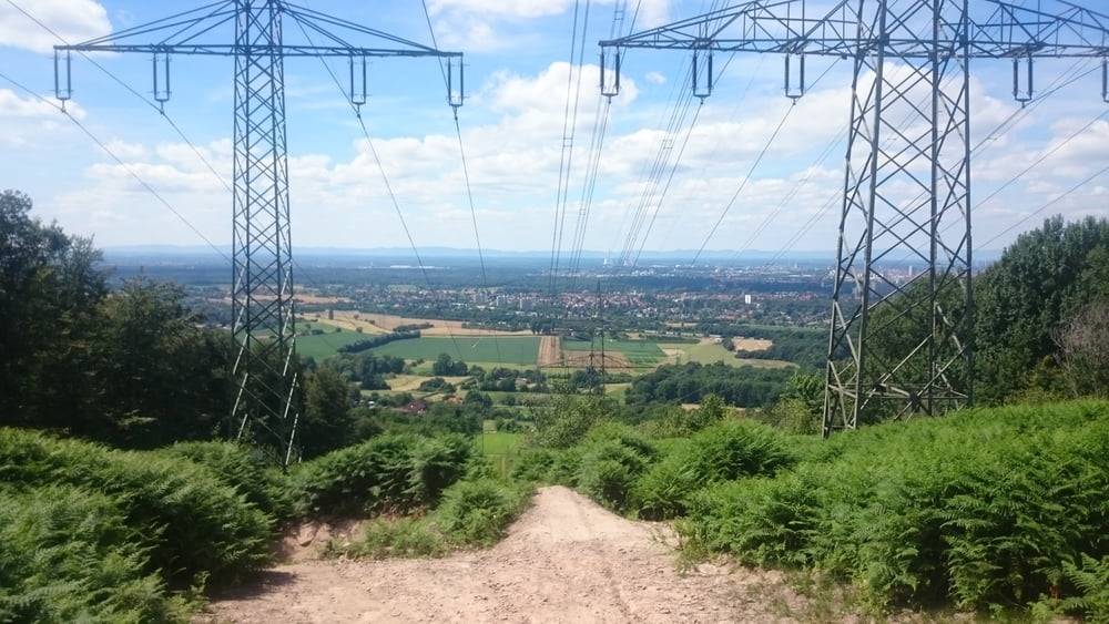

Von KA (Zoo) durch den Oberwald über den Wattkopf ins Albtal.
Gerade in der zweiten Hälfte traillastig. Technisch keine großen Probleme, aber ich würde empfehlen, die Tour nicht zu fahren, wenn es die Tage davor geregnet hat.
Am Ende geht es über die neue Downhillstrecke nach unten. Hier kann man wählen, welche Schwierigkeitsstufe man nimmt. Es gibt die Möglichkeit für Sprünge, etc. oder eben harmlosere Umfahrungen.
Tour map and elevation profile
Minimum height 117 m
Maximum height 466 m
More about the tour author

|
klixx |
Comments

Direkt ab Zoo oder Hauptbahnhof in KA.
GPS tracks
Trackpoints-
GPX / Garmin Map Source (gpx) download
-
TCX / Garmin Training Center® (tcx) download
-
CRS / Garmin Training Center® (crs) download
-
Google Earth (kml) download
-
G7ToWin (g7t) download
-
TTQV (trk) download
-
Overlay (ovl) download
-
Fugawi (txt) download
-
Kompass (DAV) Track (tk) download
-
Track data sheet (pdf) download
-
Original file of the author (gpx) download
More about the tour author
|
|
klixx |
Add to my favorites
Remove from my favorites
Edit tags
Open track
My score
Rate