


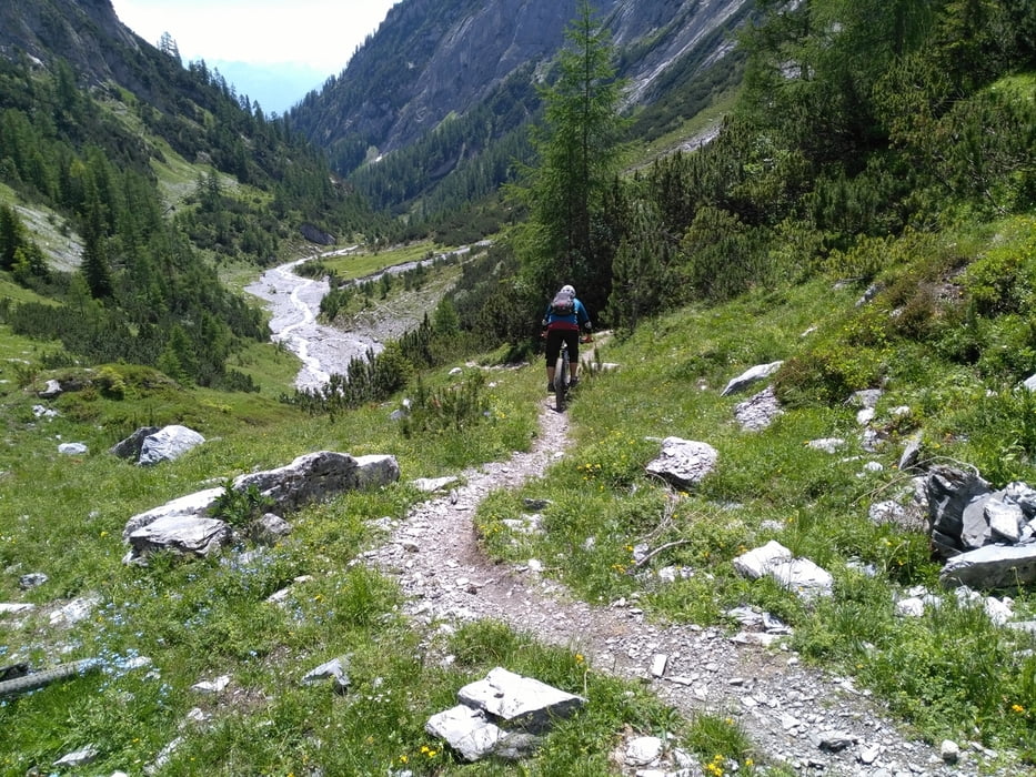
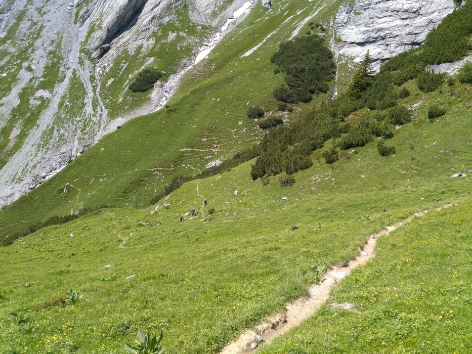
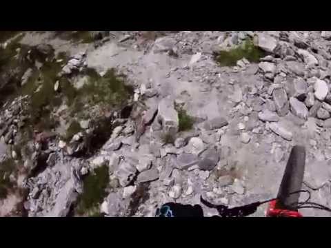
Schwere Enduroabfahrt von der Ringespitzhütte durch den Lavoitobel. Schwierigkeit S2-S3, aufwärts auf Fahrweg zum Kunkelpass (länger ca. 15%), dann auf Güterweg zur Alp unterhalb der Ringelspitzhütte. Zuletzt ca. 150hm steiler Trail bergauf, für die meisten zu steil.
Abfahrt dann direkt ab Ringelspitzhütte. Anspruchsvolles Gelände im Tobelbereich, ungeeignet für unerfahrene. Am Ende des Trails ca. 5Kehren auf Fahrweg hinunter, dann ca. 100hm hinauf zu einem verwilderten Trail ins Tal, Alternativ auf Güterweg (langweilig).
Further information at
https://www.youtube.com/watch?v=rDlikDXOTrQTour gallery
Tour map and elevation profile
Minimum height 639 m
Maximum height 2002 m
More about the tour author
|
|
skyhopper |
Comments

Parken am Ortsanfang Tamis auf kostenlosen Parkplatz
GPS tracks
Trackpoints-
GPX / Garmin Map Source (gpx) download
-
TCX / Garmin Training Center® (tcx) download
-
CRS / Garmin Training Center® (crs) download
-
Google Earth (kml) download
-
G7ToWin (g7t) download
-
TTQV (trk) download
-
Overlay (ovl) download
-
Fugawi (txt) download
-
Kompass (DAV) Track (tk) download
-
Track data sheet (pdf) download
-
Original file of the author (gpx) download
More about the tour author
|
|
skyhopper |
Add to my favorites
Remove from my favorites
Edit tags
Open track
My score
Rate