Login

Forgot your login?

Cookies have to be accepted!
Your browser's cookie functionality is disabled. Please enable this functionality.

Not a member yet?

Register now
Login

Available for registred users only

Log in to use this feature.

Forgot your login?

Cookies have to be accepted!
Your browser's cookie functionality is disabled. Please enable this functionality.

Not a member yet?

Register now
Filter
Categories
Advanced filters
  • Distance (km)
  • Height
Save filters Reset filter

TrackRank

QRCode

Technical data

Distance25,3 km Height1938 m Way down1871 m Duration08:00 h:m Date10.07.2016
Scores Author Landscape Fun factor Fitness Technique

Statistics

215 Views 1 Score 11 Downloads 5.00 Average
Rate
  • Track data sheet
  • Directions
  • Downloads

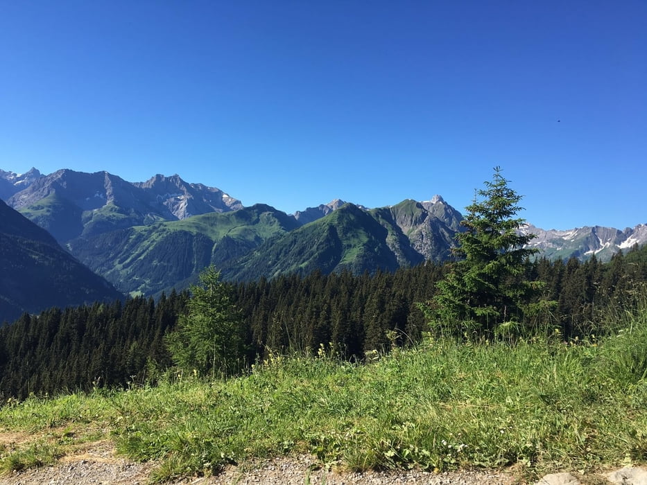
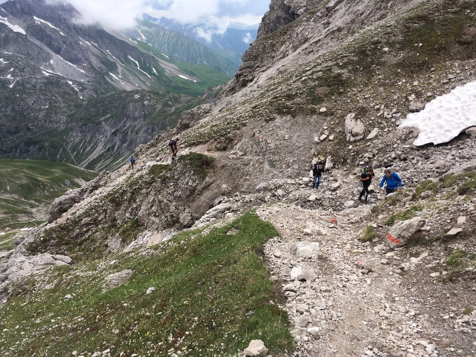
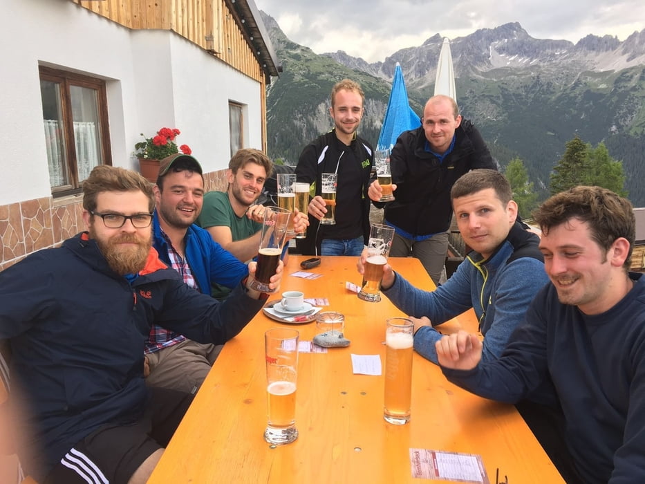
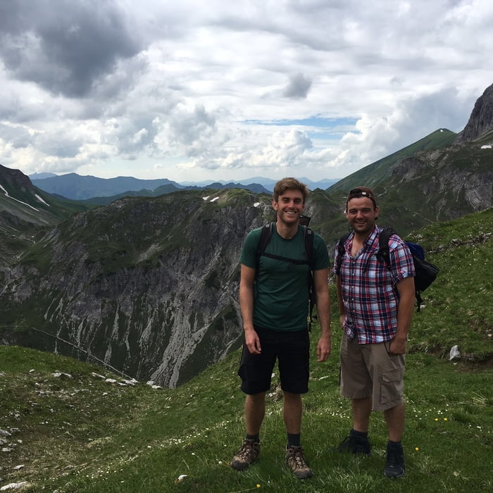
Schöne Bergtour mit den Jungs - anfangs entspannte Tour, steigert sich zum Ende hin und wird mit einem super Ausblick belohnt.


Tour gallery

Tour map and elevation profile

  • Open Street Map
  • Google
Minimum height 1022 m Maximum height 2650 m Detailed view

More about the tour author

mike23
Member since 2014

Send private message

Comments

Anfahrt über A7 oder B16 Füssen - Reutte - Weißenbach - Stanzach - Holzgau


GPS tracks

Trackpoints
  • GPX / Garmin Map Source (gpx) download
  • TCX / Garmin Training Center® (tcx) download
  • CRS / Garmin Training Center® (crs) download
  • Google Earth (kml) download
  • G7ToWin (g7t) download
  • TTQV (trk) download
  • Overlay (ovl) download
  • Fugawi (txt) download
  • Kompass (DAV) Track (tk) download
  • Track data sheet (pdf) download
  • Original file of the author (gpx) download

More about the tour author

mike23
Member since 2014

Send private message
Share track
Add to my favorites
Remove from my favorites
Edit tags
My score
Rate
Track: Gr. Krottenkopf - Männerausflug 09./10. Juli 2016
Type: Mountain hiking
Distance: 25,3 km
Evaluated on:
Duration:
Day(s)
Hour(s)
Minute(s)
Score: Landscape Fun factor Fitness Technique