Login

Forgot your login?

Cookies have to be accepted!
Your browser's cookie functionality is disabled. Please enable this functionality.

Not a member yet?

Register now
Login

Available for registred users only

Log in to use this feature.

Forgot your login?

Cookies have to be accepted!
Your browser's cookie functionality is disabled. Please enable this functionality.

Not a member yet?

Register now
Filter
Categories
Advanced filters
  • Distance (km)
  • Height
Save filters Reset filter

TrackRank

QRCode

Technical data

Distance50,8 km Height1016 m Way down1023 m Duration03:00 h:m Date16.07.2016
Scores Author Landscape Fun factor Fitness Technique

Statistics

321 Views Scores 27 Downloads Average
Rate
  • Track data sheet
  • Directions
  • Downloads

Extrem schöne Tour mit toller Aussicht auf Aegerisee und Zürisee.

Es geht zum Teil steil bergauf, einige Passagen sind Naturstrassen. Die Teilstücke auf vielbefahrenen Autostrassen (bei Biberbrugg und Hirzel-Sihbrugg) gehen bergab, sodass man für den Autoverkehr kein zu grosses Hinderniss darstellt.

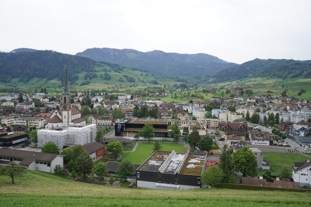
Ein Abstecher nach Einsiedeln wäre eine Option. Auf dem Hinweg geht es direkt beim Eingang zu den Höllgrotten (Tropfsteinhöhlen) vorbei.


Tour gallery

Tour map and elevation profile

  • Open Street Map
  • Google
Minimum height 446 m Maximum height 1024 m Detailed view

More about the tour author

s-braeutigam
Member since 2009

Send private message

Comments

GPS tracks

Trackpoints
  • GPX / Garmin Map Source (gpx) download
  • TCX / Garmin Training Center® (tcx) download
  • CRS / Garmin Training Center® (crs) download
  • Google Earth (kml) download
  • G7ToWin (g7t) download
  • TTQV (trk) download
  • Overlay (ovl) download
  • Fugawi (txt) download
  • Kompass (DAV) Track (tk) download
  • Track data sheet (pdf) download
  • Original file of the author (gpx) download

More about the tour author

s-braeutigam
Member since 2009

Send private message
Share track
Add to my favorites
Remove from my favorites
Edit tags
My score
Rate
Track: Baar - Ägeri - Schindellegi - Hirzel - Sihlbrugg - Baar
Type: Trekkingbike
Distance: 50,8 km
Evaluated on:
Duration:
Day(s)
Hour(s)
Minute(s)
Score: Landscape Fun factor Fitness Technique