


Start der Tour ist beim Holzrechenplatz in Baden.
Die Tour verläuft auf der "Lindkogelstrecke" durch das Helenental auf den Hohen Lindkogel und weiter zum Sooßer Lindkogel, wo man auf den Raika Trail trifft (P1).
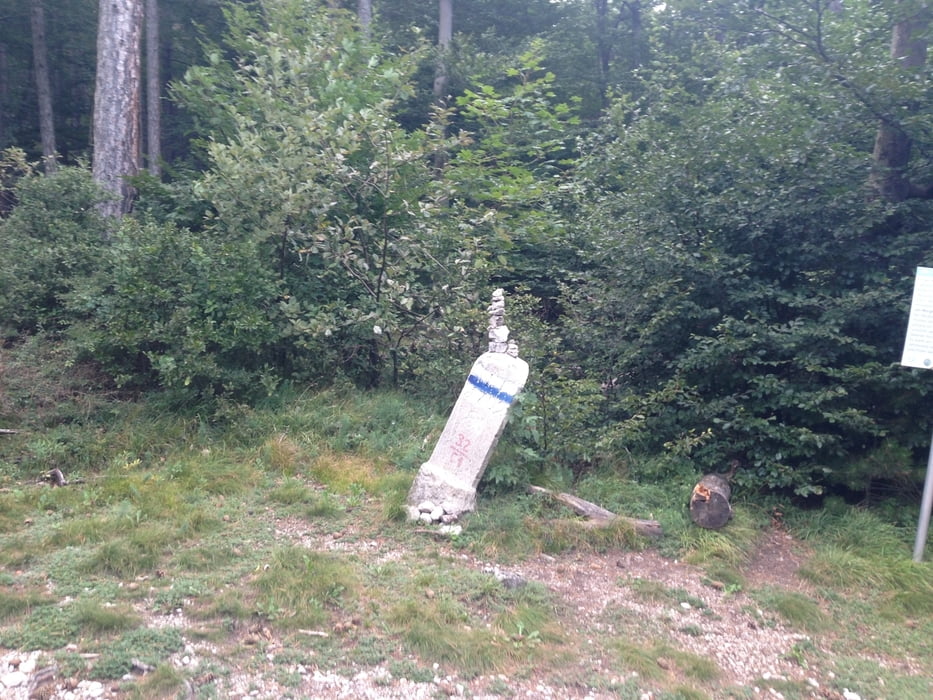
Dem Raika Trail bis zu einer Weggabelung (P2) folgen,bei der Weggabelung links halten und weiter bis zu einem Rastplatz (P3).
Ab dem Rastplatz geht es sehr steil mit vielen Wurzeln bergab Richtung Steinbruchgasse in Baden.
In Baden trifft man wieder auf die Lindkogelstrecke, die zurück zum Holzrechenplatz führt.
Further information at
http://www.oetk-baden.at/schutzhaus/Tour gallery
Tour map and elevation profile
Minimum height 251 m
Maximum height 864 m
More about the tour author
|
|
kersti |
Comments
Parkmöglichkeit beim Holzrechenplatz
GPS tracks
Trackpoints-
GPX / Garmin Map Source (gpx) download
-
TCX / Garmin Training Center® (tcx) download
-
CRS / Garmin Training Center® (crs) download
-
Google Earth (kml) download
-
G7ToWin (g7t) download
-
TTQV (trk) download
-
Overlay (ovl) download
-
Fugawi (txt) download
-
Kompass (DAV) Track (tk) download
-
Track data sheet (pdf) download
-
Original file of the author (gpx) download
More about the tour author
|
|
kersti |
Add to my favorites
Remove from my favorites
Edit tags
Open track
My score
Rate
Mtb Trail
Trail am Ende der Tour ist auch sehr fein und anspruchsvoll.
Vielen Dank für die Tour