


- Rundkurs: Gegen den Uhrzeigersinn
- Start/Ziel: Unsere liebe Frau im Walde MH.1.350.
- Auf Forststrasse zum Biotop "Laghetto delle Regole"- Gasthof "Arnica" MH.1.196 KM. 5,6. Weiter bis zur Einmündung in die Landstrasse MH.1.090 KM. 9,6. Abfahrt auf der kaum befahrenen Landstrasse vorbei an Castelfondo bis zum tiefsten Punkt der Tour MH.820 KM. 18,7. Auf der Landstrasse hoch nach Fondo. Von dort weiter nach Tret. Kurz nach Fondo biegen wir auf einen gleichmässig, leicht ansteigenden Schotterweg ein, der nach Tret führt. Weiter nach St.Felix. Nach dem Dorfzentrum von St. Felix gelangen wir auf eine Weggabelung.
- Wer kurze, knackige, verbockte Anstiege liebt, der folge dem Track. Wer die Tour gemütlich auf Asphalt zu Ende fahren will, der soll an dieser Gabelung links auf die Malga Sott-Strasse abbiegen (grosses Strassenschild).
- ANMERKUNGEN: Wer die Tour lieber mit einer Abfahrt beendet, dem empfehle ich in Fondo, in der Nähe des tiefsten Punktes zu starten.
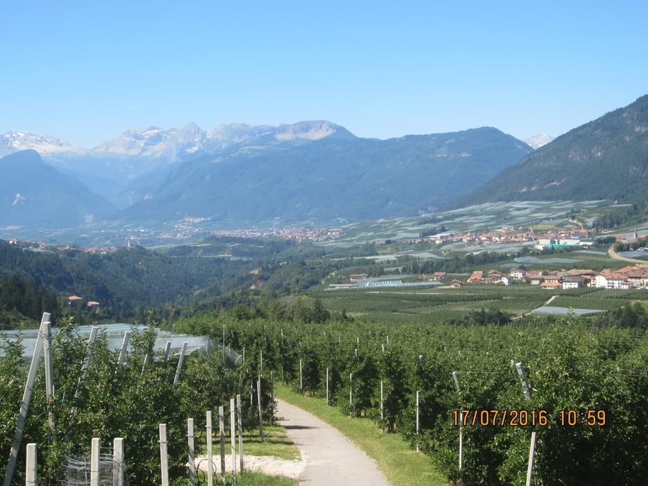
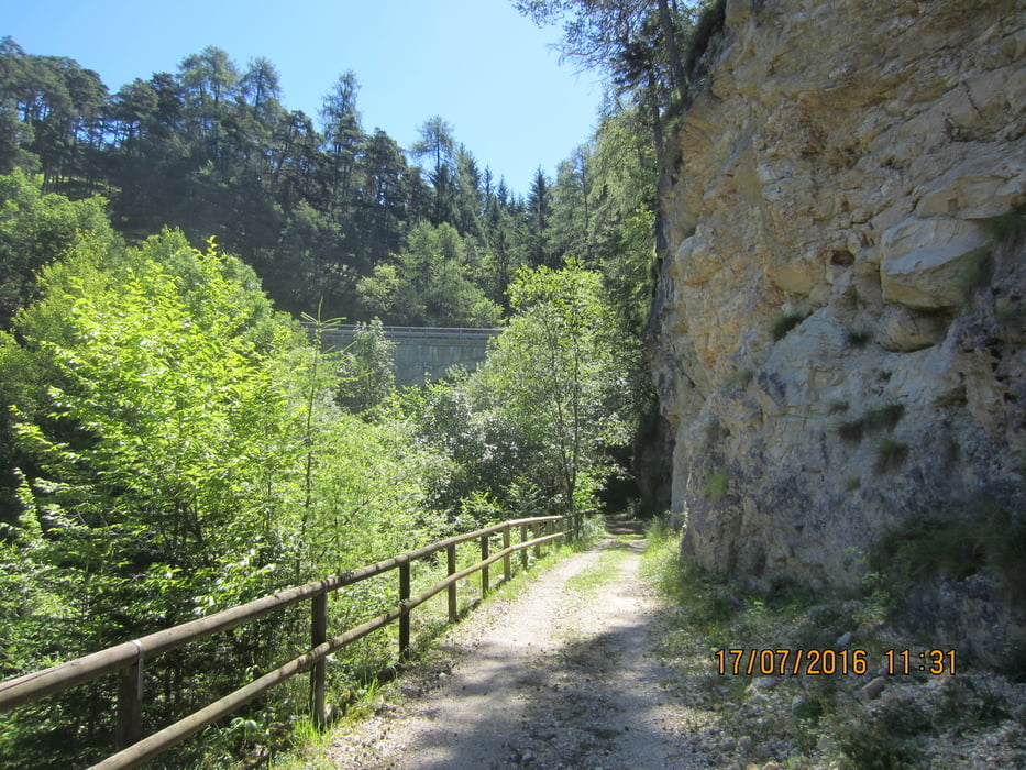
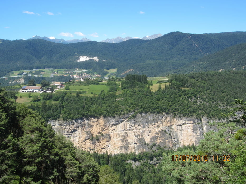
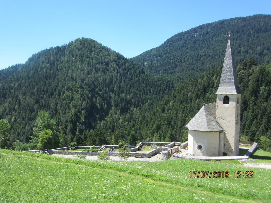
Tour gallery
Tour map and elevation profile
Minimum height 810 m
Maximum height 1351 m
More about the tour author
|
|
MargesinFriedrich |
Comments

GPS tracks
Trackpoints-
GPX / Garmin Map Source (gpx) download
-
TCX / Garmin Training Center® (tcx) download
-
CRS / Garmin Training Center® (crs) download
-
Google Earth (kml) download
-
G7ToWin (g7t) download
-
TTQV (trk) download
-
Overlay (ovl) download
-
Fugawi (txt) download
-
Kompass (DAV) Track (tk) download
-
Track data sheet (pdf) download
-
Original file of the author (gpx) download
More about the tour author
|
|
MargesinFriedrich |
Add to my favorites
Remove from my favorites
Edit tags
Open track
My score
Rate