Login

Forgot your login?

Cookies have to be accepted!
Your browser's cookie functionality is disabled. Please enable this functionality.

Not a member yet?

Register now
Login

Available for registred users only

Log in to use this feature.

Forgot your login?

Cookies have to be accepted!
Your browser's cookie functionality is disabled. Please enable this functionality.

Not a member yet?

Register now
Filter
Categories
Advanced filters
  • Distance (km)
  • Height
Save filters Reset filter

TrackRank

QRCode

Technical data

Distance2,0 km Height8 m Way down8 m Duration00:20 h:m Date26.07.2016
Scores Author Landscape Fun factor Fitness Technique

Statistics

300 Views Scores 2 Downloads Average
Rate
  • Track data sheet
  • Directions
  • Downloads
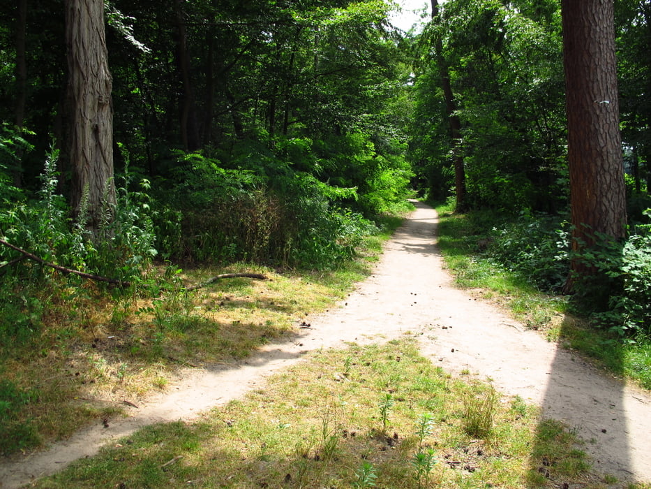
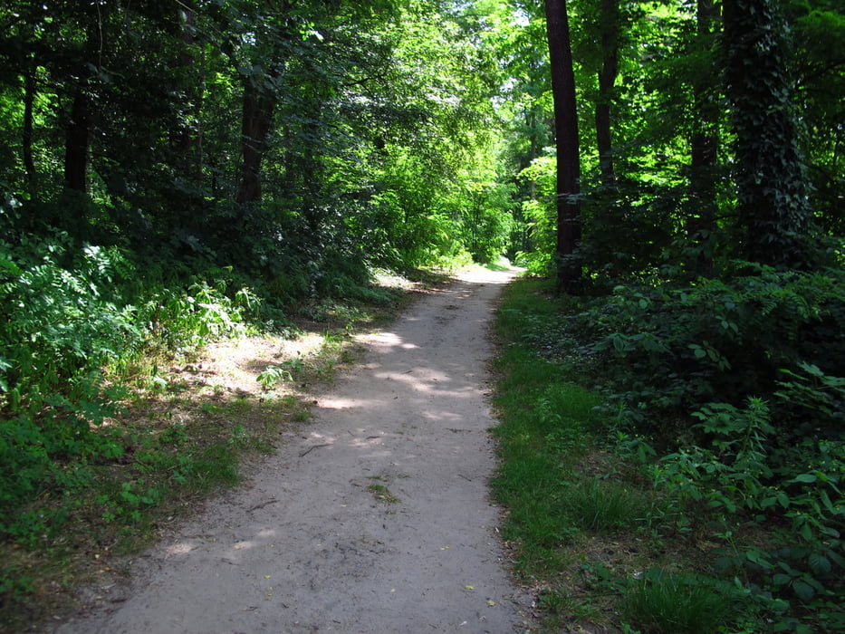
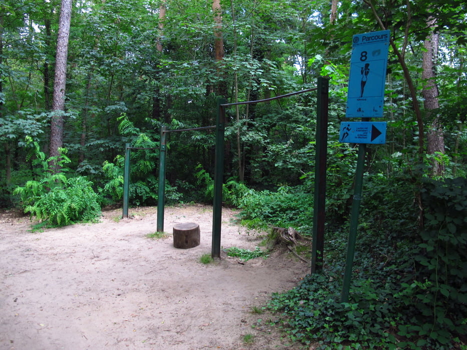
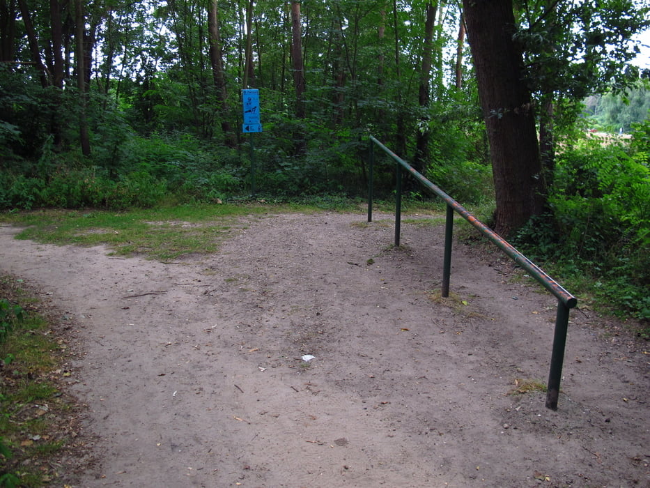
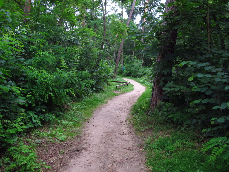
Ein sehr schöner Parcours im Wald von St. Ilgen. In der Nähe vom Waldfriedhof. Einige Parkmöglichkeiten für Autos und Fahrräder. Der Weg ist fast gänzlich im Wald geführt. Man läuft fast Immer im Schatten. Wer möchte kann auch die 20 Stationen mit Anleitungen zur Bewegung nutzen.

Tour gallery

Tour map and elevation profile

  • Open Street Map
  • Google
Minimum height 116 m Maximum height 125 m Detailed view

More about the tour author

Hastati
Member since 2015

Send private message

Comments

GPS tracks

Trackpoints
  • GPX / Garmin Map Source (gpx) download
  • TCX / Garmin Training Center® (tcx) download
  • CRS / Garmin Training Center® (crs) download
  • Google Earth (kml) download
  • G7ToWin (g7t) download
  • TTQV (trk) download
  • Overlay (ovl) download
  • Fugawi (txt) download
  • Kompass (DAV) Track (tk) download
  • Track data sheet (pdf) download
  • Original file of the author (gpx) download

More about the tour author

Hastati
Member since 2015

Send private message
Share track
Add to my favorites
Remove from my favorites
Edit tags
My score
Rate
Track: Parcours Sankt Ilgen, Leimen
Type: Running
Distance: 2,0 km
Evaluated on:
Duration:
Day(s)
Hour(s)
Minute(s)
Score: Landscape Fun factor Fitness Technique