


Dolomiten pur.....
So wie man es sich vorstellt.
Eine Traumtour am Falzaregopass mit allem, was dazugehört.
Gigantische Panoramen, machbarer Klettersteig, zeitgeschichtliche Wege, Abenteuer, Nachdenkliches, ein Rundumpaket.
Die Zufahrt erreichen wir über den Falzaregopass. Es geht ca. bei 2/3 des Passes rechts ab Richtung Dibonahütte. Die Straße schlängelt sich eng und steil hinauf zur Hütte und Parkplatz.
Wir sind am letzten Notasstieg ausgestiegen und sind direkt zur liebevoll bewirtschafteten Joseppehütte gelaufen, um dann den Rundweg im Abstieg zur Dibonahütte zu vollenden.
Eine passende Beschreibung gibt es auch auf
http://www.bergsteigen.com/klettersteig/trentino-suedtirol/dolomiten/ferrata-giovanni-lipella
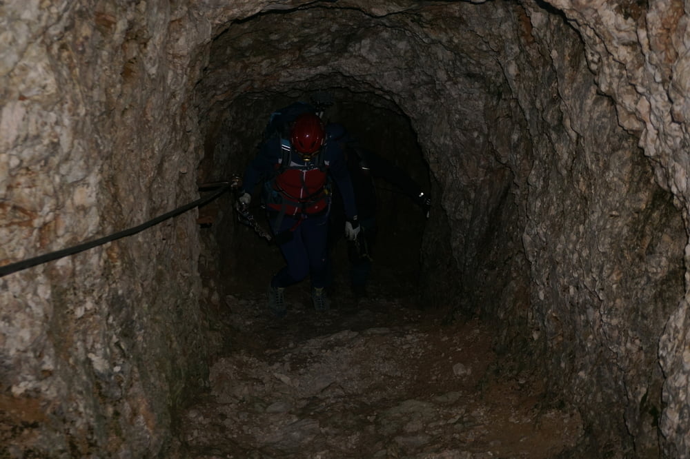
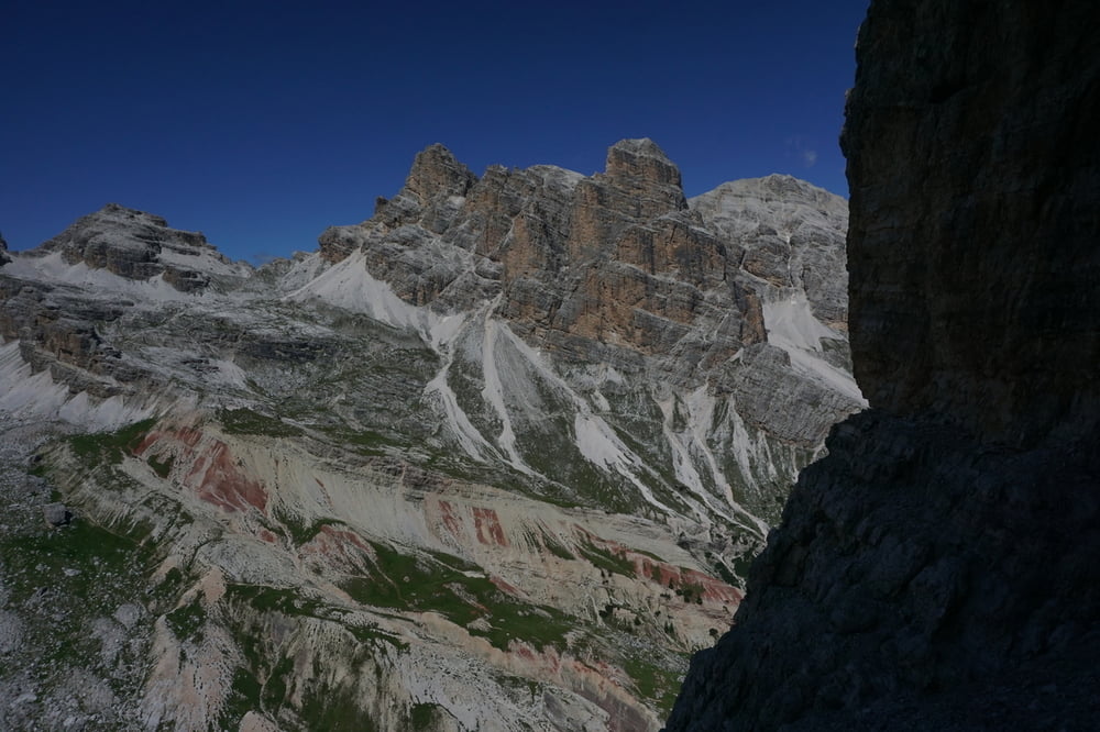
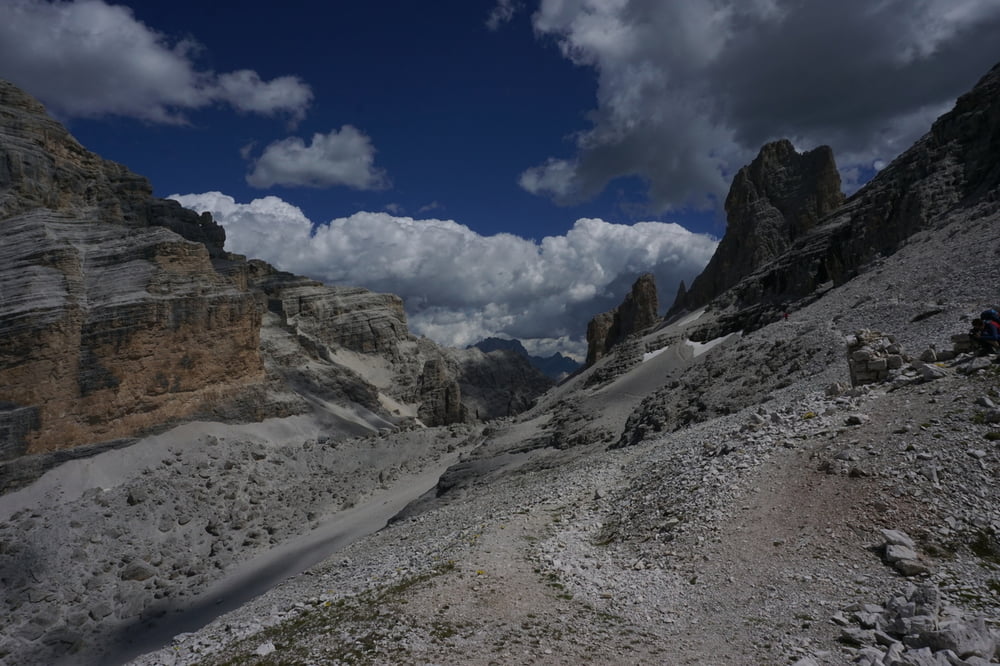
Anbei nur noch ein paar Bilder
Further information at
http://www.bergsteigen.com/klettersteig/trentino-suedtirol/dolomiten/ferrata-giovanni-lipellaTour gallery
Tour map and elevation profile
Minimum height 1867 m
Maximum height 2539 m
More about the tour author
|
|
Kletterwolf |
Comments

GPS tracks
Trackpoints-
GPX / Garmin Map Source (gpx) download
-
TCX / Garmin Training Center® (tcx) download
-
CRS / Garmin Training Center® (crs) download
-
Google Earth (kml) download
-
G7ToWin (g7t) download
-
TTQV (trk) download
-
Overlay (ovl) download
-
Fugawi (txt) download
-
Kompass (DAV) Track (tk) download
-
Track data sheet (pdf) download
-
Original file of the author (gpx) download
More about the tour author
|
|
Kletterwolf |
Add to my favorites
Remove from my favorites
Edit tags
Open track
My score
Rate