Login

Forgot your login?

Cookies have to be accepted!
Your browser's cookie functionality is disabled. Please enable this functionality.

Not a member yet?

Register now
Login

Available for registred users only

Log in to use this feature.

Forgot your login?

Cookies have to be accepted!
Your browser's cookie functionality is disabled. Please enable this functionality.

Not a member yet?

Register now
Filter
Categories
Advanced filters
  • Distance (km)
  • Height
Save filters Reset filter

TrackRank

QRCode

Technical data

Distance58,9 km Height2560 m Way down1875 m Duration06:49 h:m Date29.07.2016
Scores Author Landscape Fun factor Fitness Technique

Statistics

555 Views Scores 35 Downloads Average
Rate
  • Track data sheet
  • Directions
  • Downloads

Borgo-Strigno-Malga Conserie-Passo 5 croci-Passo Sadole-
Baita Cauriol-Predazzo
 

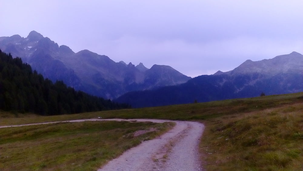
Die ersten 20 km wieder Asphalt, allerdings mit sehr wenig Verkehr. Bei uns wär dies ein Almweg, niemals asphaltiert. Ab dann Schotter, auch hinauf zum Passo Sadole. Nur die letzten 1,6 km und 400 hm sind eine schwere Schiebestrecke (1h). Runter S1-3, ich bin den Weg kaum gefahren (ca 20' Schiebung).

Quartier: Albergo Vinella HP 54€, ok.


Tour gallery

Tour map and elevation profile

  • Open Street Map
  • Google
Minimum height 375 m Maximum height 2077 m Detailed view

More about the tour author

mitter
Member since 2008

Send private message

Comments

Start in Borgo.


GPS tracks

Trackpoints
  • GPX / Garmin Map Source (gpx) download
  • TCX / Garmin Training Center® (tcx) download
  • CRS / Garmin Training Center® (crs) download
  • Google Earth (kml) download
  • G7ToWin (g7t) download
  • TTQV (trk) download
  • Overlay (ovl) download
  • Fugawi (txt) download
  • Kompass (DAV) Track (tk) download
  • Track data sheet (pdf) download
  • Original file of the author (gpx) download

More about the tour author

mitter
Member since 2008

Send private message
Share track
Add to my favorites
Remove from my favorites
Edit tags
My score
Rate
Track: Passo 5 croci-P. Sadole 160721 (2maschek16)
Type: Mountain bike
Distance: 58,9 km
Evaluated on:
Duration:
Day(s)
Hour(s)
Minute(s)
Score: Landscape Fun factor Fitness Technique