


Innichen-Drauursprung-Toblach-Frondeigen-Oberplanken- St. Magdalena-Gsieser Törl-Blindisalm-Defreggental- Patscher Hütte
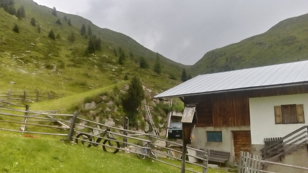
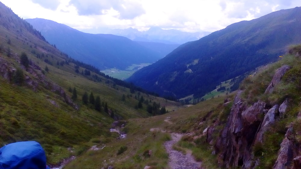
Den Drauursprung gesehen! Über Frondeigen eine rasche Angelegenheit (ca. 450 hm). Dann durch das schöne Gsieser Tal angenehme Steigung bis zur Oberbergalm (mit lustigem und auskunftsfreudigem Wirt). Ab da ca 250hm Schiebestrecke, runter ist leider auch einiges zu schieben, teils anspruchsvolle singletracks. Schließlich gemütlich hoch zur Patscher Hütte.
Quartier Patscher Hütte Lager: NF 25€, gut.
Tour gallery


Tour map and elevation profile
Minimum height 1179 m
Maximum height 2204 m
More about the tour author
|
|
mitter |
Comments

Start in Innichen im Zentrum.
GPS tracks
Trackpoints-
GPX / Garmin Map Source (gpx) download
-
TCX / Garmin Training Center® (tcx) download
-
CRS / Garmin Training Center® (crs) download
-
Google Earth (kml) download
-
G7ToWin (g7t) download
-
TTQV (trk) download
-
Overlay (ovl) download
-
Fugawi (txt) download
-
Kompass (DAV) Track (tk) download
-
Track data sheet (pdf) download
-
Original file of the author (gpx) download
More about the tour author
|
|
mitter |
Add to my favorites
Remove from my favorites
Edit tags
Open track
My score
Rate