


Die Tour ist eine Kombination aus Teilen von 4 beschriebenen Strecken der bekannten MTB Karten NÖ SÜD-ALPIN.
Puchberg am Schneeberg 598m - Pfennigbach - Reitzenberg - Gutenmann - Mittereck - Stixenstein 474m - Sieding 478m - Gadenweith 562m - Breitensohl 725m - Rohrbachgraben - Arbestal - HM 880 - Hengsthütte 1012m - Hengsttal - Puchberg am Schneeberg.
Puchberg am Schneeberg 598m - Pfennigbach - Reitzenberg - Gutenmann - Mittereck - Stixenstein 474m - Sieding 478m - Gadenweith 562m - Breitensohl 725m - Rohrbachgraben - Arbestal - HM 880 - Hengsthütte 1012m - Hengsttal - Puchberg am Schneeberg.
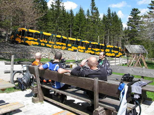
Tour gallery
Tour map and elevation profile
Minimum height 472 m
Maximum height 1030 m
More about the tour author
|
|
froehlich |
Comments

Öffentlich mit der Bahn über Wr. Neustadt. Mit dem Auto von der A2 Abf. Wöllersdorf (Heurigenbesuche empfehlenswert: Mostheuriger Pokorny und Weinheuriger Gaitzenauer) durch das Piestingtal - Miesenbachtal (Mostheurige: Postl Waidmannsfeld und Fischer am Frohnberg) - über den Ascher nach Puchberg.
GPS tracks
Trackpoints-
GPX / Garmin Map Source (gpx) download
-
TCX / Garmin Training Center® (tcx) download
-
CRS / Garmin Training Center® (crs) download
-
Google Earth (kml) download
-
G7ToWin (g7t) download
-
TTQV (trk) download
-
Overlay (ovl) download
-
Fugawi (txt) download
-
Kompass (DAV) Track (tk) download
-
Track data sheet (pdf) download
-
Original file of the author (gpx) download
More about the tour author
|
|
froehlich |
Add to my favorites
Remove from my favorites
Edit tags
Open track
My score
Rate