


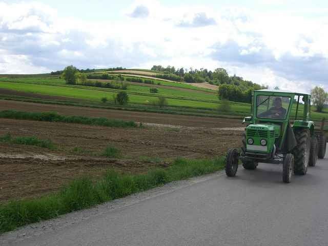
Start beim Hotel Paierl, hinein in die Ortsmitte Bad Waltersdorf (Kirche), Richtung Mariensäule, dann rechts, entlang der Friedhofstraße nach Neustift, Steinfeld, Ebersdorfberg (starke Steigung), Wagenbach, Unterdombach, Hartberg-Lebing, Hartberg-Herz, Habersdorf, Hopfau, Oberbuch entlang der Bahn weiter bis Edelsbergen (mäßige Steigung), Sebersdorf, Untermayerhofen und zurück nach Bad Waltersdorf.
Quelle: http://www.straussenwirt.at/20/rad.htm
Grossteils gut markiert, dennoch fehlen an einigen, kritischen Stellen die Hinweisschilder.
Quelle: http://www.straussenwirt.at/20/rad.htm
Grossteils gut markiert, dennoch fehlen an einigen, kritischen Stellen die Hinweisschilder.
Further information at
http://www.badwaltersdorf.com/Tour gallery
Tour map and elevation profile
Minimum height 292 m
Maximum height 397 m
More about the tour author

|
Comments

Per Bahn oder Auto nach Bad Waltersdorf.
GPS tracks
Trackpoints-
GPX / Garmin Map Source (gpx) download
-
TCX / Garmin Training Center® (tcx) download
-
CRS / Garmin Training Center® (crs) download
-
Google Earth (kml) download
-
G7ToWin (g7t) download
-
TTQV (trk) download
-
Overlay (ovl) download
-
Fugawi (txt) download
-
Kompass (DAV) Track (tk) download
-
Track data sheet (pdf) download
-
Original file of the author (gpx) download
More about the tour author
|
|
Add to my favorites
Remove from my favorites
Edit tags
Open track
My score
Rate