


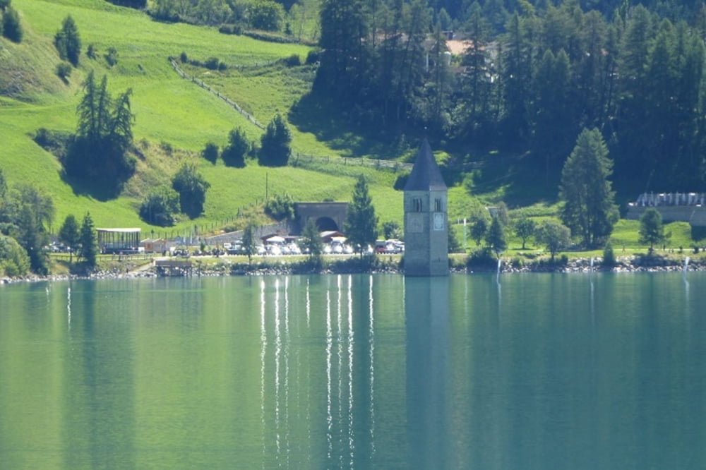
Vom kostenlosen Parkplatz Bergcastel Ski Lift in Nauders geht es über die Grenze zum Reschensee. Auf Radwegen hinüber zum Haidersee nach Burgeis. Von dort geht es stehtig bergauf an Kloster Marienberg vorbei nach Schlinig. Übernachtung in Schlinig "Hotel Edelweiß". Sehr nette Gastgeber und sehr gutes Essen.
Further information at
https://www.google.de/url?sa=t&rct=j&q=&esrc=s&source=web&cd=1&cad=rja&uact=8&ved=0ahUKEwjBkITs-6vOAhVCOBQKHTbCCCIQFggcMAA&url=http%3A%2F%2Fwww.schlinig.it%2F&usg=AFQjCNEQQw75xr8yojIgQBtmx_6g27ybgATour gallery


Tour map and elevation profile
Minimum height 1399 m
Maximum height 1530 m
More about the tour author
|
|
Sepp200877 |
Comments

GPS tracks
Trackpoints-
GPX / Garmin Map Source (gpx) download
-
TCX / Garmin Training Center® (tcx) download
-
CRS / Garmin Training Center® (crs) download
-
Google Earth (kml) download
-
G7ToWin (g7t) download
-
TTQV (trk) download
-
Overlay (ovl) download
-
Fugawi (txt) download
-
Kompass (DAV) Track (tk) download
-
Track data sheet (pdf) download
-
Original file of the author (gpx) download
More about the tour author
|
|
Sepp200877 |
Add to my favorites
Remove from my favorites
Edit tags
Open track
My score
Rate