


Schöne Tour am Limfyord entlang und durch Hinterland zurück nach Funtana
Start in Funtana erst auf Strasse nach Vrsar von dort auf Schotter am Limfyord entlang Am Ende des Fyordes Stehen ein paar Verkaufsbuden dort geht ein Steiler Trail zum Fyord runter Man kann aber auch Strasse fahren. Von dort geht es auf Schotter nach Dvigrad (eine Verfallene Ruinenstadt) Von dort auf Nebenstrasse nach Jural.Über Gradina und Fuskulin fahren wir Zurück nach Funtana..Einkehrmöglichkeiten gigt es in Klostar ,Dvigrad, und Gradina.
Die Tour verlauft auf Nebenstrassen(25%) und Schotterwegen (75)
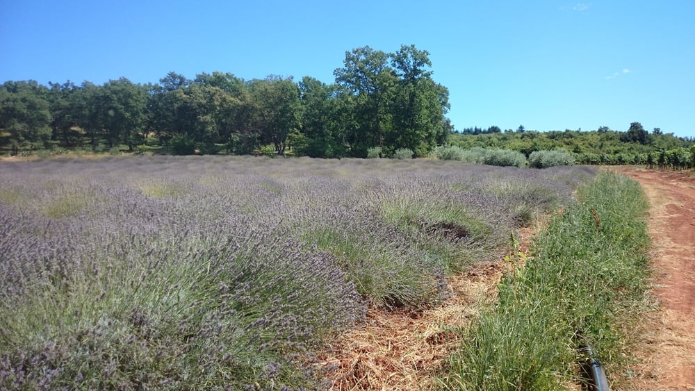
Tour gallery


Tour map and elevation profile
Minimum height -58 m
Maximum height 218 m
More about the tour author
|
|
urmeleumel |
Comments

GPS tracks
Trackpoints-
GPX / Garmin Map Source (gpx) download
-
TCX / Garmin Training Center® (tcx) download
-
CRS / Garmin Training Center® (crs) download
-
Google Earth (kml) download
-
G7ToWin (g7t) download
-
TTQV (trk) download
-
Overlay (ovl) download
-
Fugawi (txt) download
-
Kompass (DAV) Track (tk) download
-
Track data sheet (pdf) download
-
Original file of the author (gpx) download
More about the tour author
|
|
urmeleumel |
Add to my favorites
Remove from my favorites
Edit tags
Open track
My score
Rate