Login

Forgot your login?

Cookies have to be accepted!
Your browser's cookie functionality is disabled. Please enable this functionality.

Not a member yet?

Register now
Login

Available for registred users only

Log in to use this feature.

Forgot your login?

Cookies have to be accepted!
Your browser's cookie functionality is disabled. Please enable this functionality.

Not a member yet?

Register now
Filter
Categories
Advanced filters
  • Distance (km)
  • Height
Save filters Reset filter

TrackRank

QRCode

Technical data

Distance16,0 km Height820 m Way down747 m Duration00:00 h:m Date29.08.2016
Scores Author Landscape Fun factor Fitness Technique

Statistics

260 Views Scores 13 Downloads Average
Rate
  • Track data sheet
  • Directions
  • Downloads

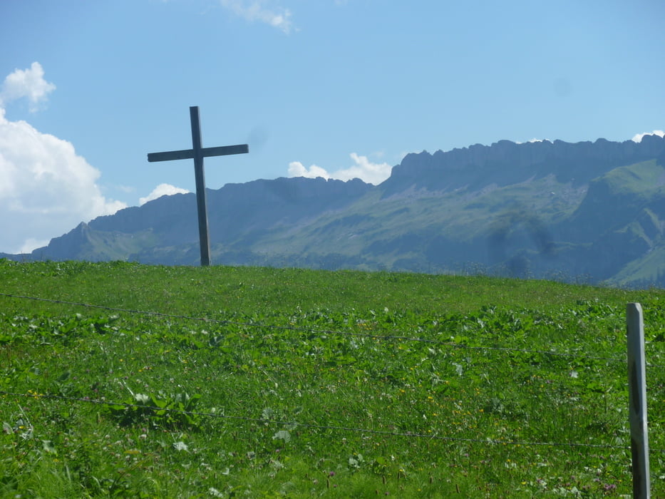
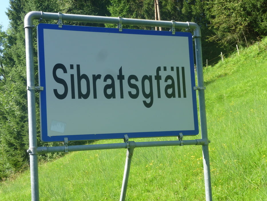
Aussichtsreiche, leichte bis mittelschwere Wanderung durch das Alpgebiet von Sibratsgfäll auf den Feuerstätterkopf (1.645 m). Das letzte Teilstück bis zum Gipfel gestaltet sich steil und unwegsam.
Gute Kondition und Trittsicherheit sind von Vorteil.

Belohnt wird man dann am letzten Teil der Wanderung 3,5 km  vor Sibratsgfäll mit einer Einkehr in der Alpe Wildries. Schöne Terasse mit toller Aussicht.

Tour gallery

Tour map and elevation profile

  • Open Street Map
  • Google
Minimum height 867 m Maximum height 1650 m Detailed view

More about the tour author

Guddy
Member since 2009

Send private message

Comments

GPS tracks

Trackpoints
  • GPX / Garmin Map Source (gpx) download
  • TCX / Garmin Training Center® (tcx) download
  • CRS / Garmin Training Center® (crs) download
  • Google Earth (kml) download
  • G7ToWin (g7t) download
  • TTQV (trk) download
  • Overlay (ovl) download
  • Fugawi (txt) download
  • Kompass (DAV) Track (tk) download
  • Track data sheet (pdf) download
  • Original file of the author (gpx) download

More about the tour author

Guddy
Member since 2009

Send private message
Share track
Add to my favorites
Remove from my favorites
Edit tags
My score
Rate
Track: Rundtour Sibratsgfäll über den Feuerstädter Kopf
Type: Mountain hiking
Distance: 16,0 km
Evaluated on:
Duration:
Day(s)
Hour(s)
Minute(s)
Score: Landscape Fun factor Fitness Technique