


Mystischer Berg – im wahrsten Sinne…. Hatte an diesem Tag keine Kamera aus Wettergründen mit dabei. Aber ich hatte wirklich alles!! Gewitter – Hagel – super Fernsicht!!! … und die Trails sind wirklich super zu fahren!!! Dieser Berg sollte bei keiner Planung fehlen!!!
Further information at
http://www.thueringen-tourismus.de/cps/rde/xchg/thueringen-tourismus/hs.xsl/3919.html?gclid=CPqC-f7imJMCFQYOuwod-HCUrATour gallery
Tour map and elevation profile
Minimum height 240 m
Maximum height 483 m
More about the tour author
|
|
Ridgeback |
Comments

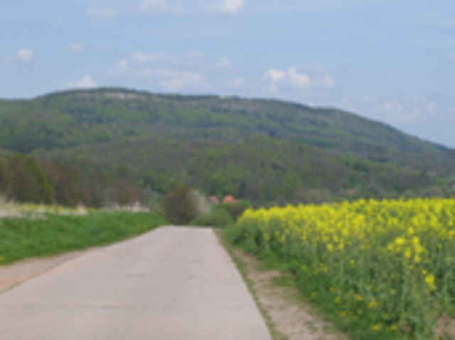
Startpunkt aller 4 Thüringer-Touren ist Kahlenberg (Wutha/Farnroda) ca. 7km östlich von Eisenach und einfach über die A4 zu erreichen. Hier standen wir mit unserm Wohnmobil an der Gaststätte Zapfengrund – die uns den Stellplatz und Strom kostenlos zu Verfügung gestellt hat. Wir genossen dort ein reichhaltiges Frühstück und auch das Abendessen aus der eigenen Schlachterei war Bestens!!
GPS tracks
Trackpoints-
GPX / Garmin Map Source (gpx) download
-
TCX / Garmin Training Center® (tcx) download
-
CRS / Garmin Training Center® (crs) download
-
Google Earth (kml) download
-
G7ToWin (g7t) download
-
TTQV (trk) download
-
Overlay (ovl) download
-
Fugawi (txt) download
-
Kompass (DAV) Track (tk) download
-
Track data sheet (pdf) download
-
Original file of the author (gpx) download
More about the tour author
|
|
Ridgeback |
Add to my favorites
Remove from my favorites
Edit tags
Open track
My score
Rate