Login

Forgot your login?

Cookies have to be accepted!
Your browser's cookie functionality is disabled. Please enable this functionality.

Not a member yet?

Register now
Login

Available for registred users only

Log in to use this feature.

Forgot your login?

Cookies have to be accepted!
Your browser's cookie functionality is disabled. Please enable this functionality.

Not a member yet?

Register now
Filter
Categories
Advanced filters
  • Distance (km)
  • Height
Save filters Reset filter

TrackRank

QRCode

Technical data

Distance66,1 km Height1355 m Way down1346 m Duration05:00 h:m Date29.08.2016
Scores Author Landscape Fun factor Fitness Technique

Statistics

384 Views Scores 60 Downloads Average
Rate
  • Track data sheet
  • Directions
  • Downloads

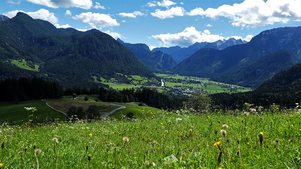
Radtour für Mountainbiker und Trekkingbiker. Von Lofer auf die Loferer Alm rüber zur bayrischen Winklmoosalm  und über Reit im Winkl , Kössen und Waidring in Tirol wieder zurück nach Lofer.

Mehr Bilder und Infos zur Tour erfährt ihr im nachfolgend angeführten Link.


Further information at

http://www.satcom.at/almenwelt-radfahren/

Tour gallery

Tour map and elevation profile

  • Open Street Map
  • Google
Minimum height 582 m Maximum height 1391 m Detailed view

More about the tour author

GarminSalzburg
Member since 2008

Send private message

Comments

Großer Parkplatz in Lofer


GPS tracks

Trackpoints
  • GPX / Garmin Map Source (gpx) download
  • TCX / Garmin Training Center® (tcx) download
  • CRS / Garmin Training Center® (crs) download
  • Google Earth (kml) download
  • G7ToWin (g7t) download
  • TTQV (trk) download
  • Overlay (ovl) download
  • Fugawi (txt) download
  • Kompass (DAV) Track (tk) download
  • Track data sheet (pdf) download
  • Original file of the author (gpx) download

More about the tour author

GarminSalzburg
Member since 2008

Send private message
Share track
Add to my favorites
Remove from my favorites
Edit tags
My score
Rate
Track: Radrunde - Almenwelt - Lofereralm - Winklmoosalm
Type: Trekkingbike
Distance: 66,1 km
Evaluated on:
Duration:
Day(s)
Hour(s)
Minute(s)
Score: Landscape Fun factor Fitness Technique