


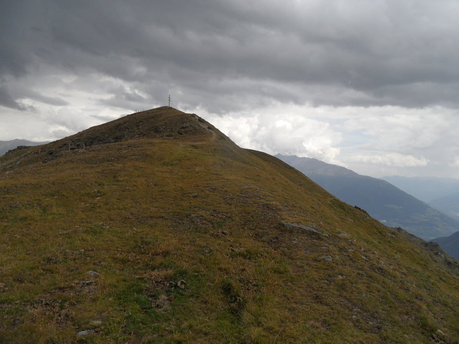
Gipfeltour auf den Tellakopf über das Tellajoch bei Mals/Taufers im Münstertal
Auf Nebenwegen vom Bahnhof Mals zur Laatscheralp 2041m, hier in der Weidesaison Rast möglich. Der Fahrweg geht noch bis auf 2200m. Dann 150hm schieben/tragen zum Tellajoch 2370m, ohne Markierung. Wer noch kann sollte die 160hm zum Tellakopf 2530m machen.
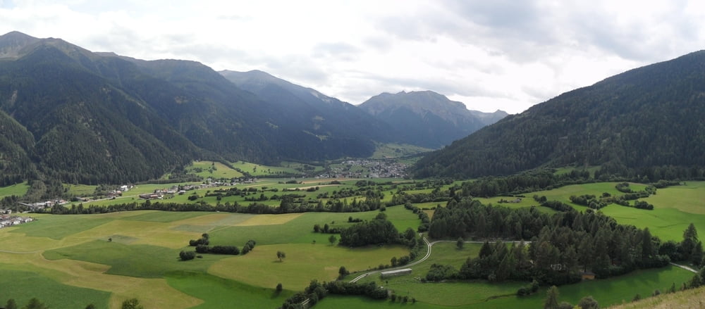
Abfahrt dann über das Tellajoch nach Taufers. Bis Tellaalpe S1-S2. Nach der Alp geht es 300m auf Güterweg, dann rechts weg in einen Spitzkehrentrail S2-S3, einige Kurven waren mir zu eng/exponiert, alternativ Fahrweg mit Abschneidern) Sitzenkehrentrail sonst gut fahrbar jedoch steiler Hang. Dieser Teil ist nur für erfahrene empfehlenswert.
Weiter über S0 Wiesenweg und Hangtrail S1 Richtung Taufers. Am Grillplatz vorbei noch ein S1 Trail am Fluss entlang. Zuletzt über Walweg (v*erbote*n-> schieben) und Nebenwege nach Latsch.
Tour gallery

Tour map and elevation profile
Minimum height 966 m
Maximum height 2524 m
More about the tour author
|
|
skyhopper |
Comments

parken am Bahnhof Mals oder an Reschenstrasse bei Mals
GPS tracks
Trackpoints-
GPX / Garmin Map Source (gpx) download
-
TCX / Garmin Training Center® (tcx) download
-
CRS / Garmin Training Center® (crs) download
-
Google Earth (kml) download
-
G7ToWin (g7t) download
-
TTQV (trk) download
-
Overlay (ovl) download
-
Fugawi (txt) download
-
Kompass (DAV) Track (tk) download
-
Track data sheet (pdf) download
-
Original file of the author (gpx) download
More about the tour author
|
|
skyhopper |
Add to my favorites
Remove from my favorites
Edit tags
Open track
My score
Rate