


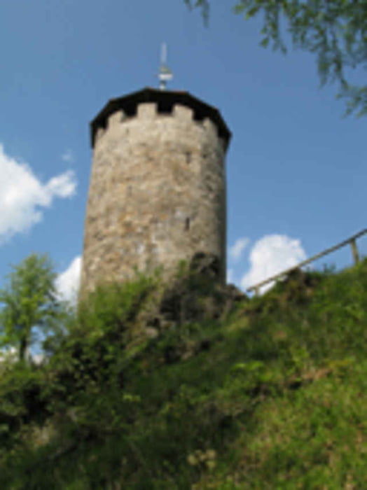
Schön zu fahrende MTB-Tour. Die Tour führt über den Rennsteig zu den Seen und über die Hohe Sonne auf dem Rennsteig zurück nach Rutha. Dort noch einen kleinen Abstecher zum Aussichtsturm und wieder zurück in den Zapfengrund
Further information at
http://www.thueringen-tourismus.de/cps/rde/xchg/thueringen-tourismus/hs.xsl/3919.html?gclid=CPqC-f7imJMCFQYOuwod-HCUrATour gallery
Tour map and elevation profile
Minimum height 252 m
Maximum height 726 m
More about the tour author
|
|
Ridgeback |
Comments

Startpunkt aller 4 Thüringer-Touren ist Kahlenberg (Wutha/Farnroda) ca. 7km östlich von Eisenach und einfach über die A4 zu erreichen. Hier standen wir mit unserm Wohnmobil an der Gaststätte Zapfengrund – die uns den Stellplatz und Strom kostenlos zu Verfügung gestellt hat. Wir genossen dort ein reichhaltiges Frühstück und auch das Abendessen aus der eigenen Schlachterei war Bestens!!
Alle Touren können auch in Ruhla gestartet werden – so spart man sich ein paar Kilometer und Höhenmeter.
Alle Touren können auch in Ruhla gestartet werden – so spart man sich ein paar Kilometer und Höhenmeter.
GPS tracks
Trackpoints-
GPX / Garmin Map Source (gpx) download
-
TCX / Garmin Training Center® (tcx) download
-
CRS / Garmin Training Center® (crs) download
-
Google Earth (kml) download
-
G7ToWin (g7t) download
-
TTQV (trk) download
-
Overlay (ovl) download
-
Fugawi (txt) download
-
Kompass (DAV) Track (tk) download
-
Track data sheet (pdf) download
-
Original file of the author (gpx) download
More about the tour author
|
|
Ridgeback |
Add to my favorites
Remove from my favorites
Edit tags
Open track
My score
Rate