

Wetterbedingt etwas anders als geplant. Von Stackler geht es den Steig zur Autenalm. Von dort zur Elfer Bergstation und weiter auf den Sonnenuhrsteig. Eigentlich wollten wir weiter zur Karalm, jedoch hat im Pinistal heftiger Regen eingesetzt. Also statt Panoramaweg Richtung Karalm, zurück zur Elferhütte und auf dem Steig zurück zur Autenalm, wo wir erst mal eingekehrt sind und uns haben trocken lassen. Nach dem Essen ging es den Steig zurück nach Stackler.
Eigentlich einfach zu laufende Tour. Bei Regen ist aber insbesondere der Steig von der Elferhütte zur Autenalm etwas schlüpfrig.
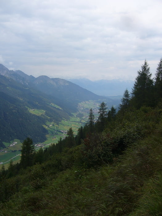
Tour gallery


Tour map and elevation profile
Minimum height 1006 m
Maximum height 2095 m
More about the tour author

|
klixx |
Comments

Auf der Straße durchs Stubaital bis kurz vorm Ende von Stackler. Dort Richtung Forstweg. Wir haben einen netten Herrn gefragt, ob wir unser Auto vor einem Holzscheit vor seinem Haus parken dürfen, was kein Problem war.
GPS tracks
Trackpoints-
GPX / Garmin Map Source (gpx) download
-
TCX / Garmin Training Center® (tcx) download
-
CRS / Garmin Training Center® (crs) download
-
Google Earth (kml) download
-
G7ToWin (g7t) download
-
TTQV (trk) download
-
Overlay (ovl) download
-
Fugawi (txt) download
-
Kompass (DAV) Track (tk) download
-
Track data sheet (pdf) download
-
Original file of the author (gpx) download
More about the tour author
|
|
klixx |
Add to my favorites
Remove from my favorites
Edit tags
Open track
My score
Rate