

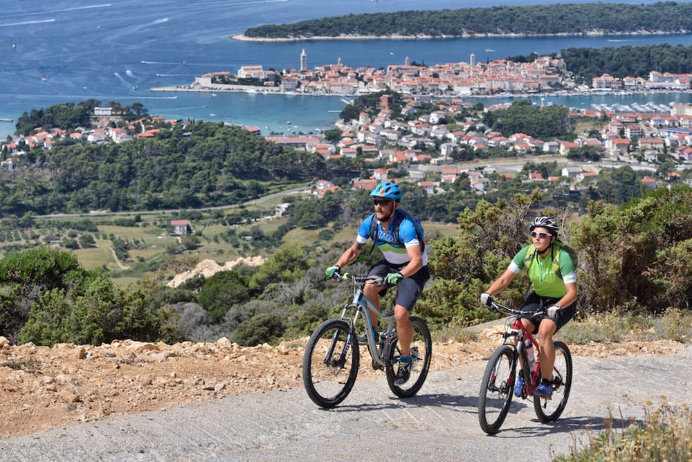
This trail leads to the highest peak on the island of Rab; Kamenjak, providing a magnificent view of the archipelago on one side, and Velebit mountain on the other.
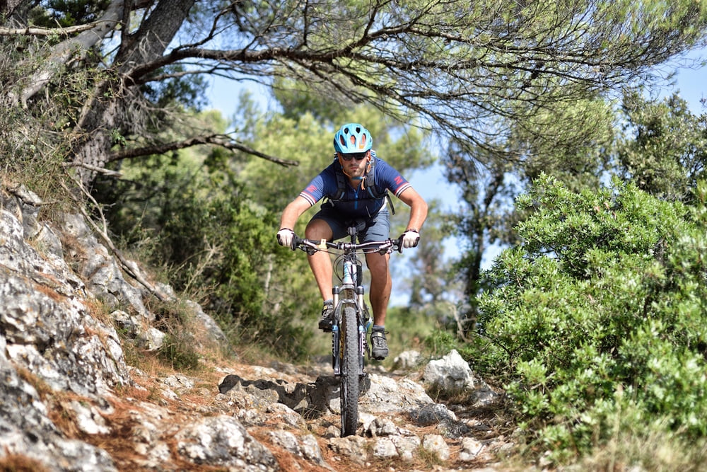
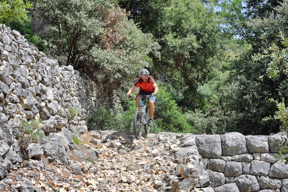
The trail is intended to riders who are familiar with the terms "enduro" and "all mountain”, and who are in search of stones, steps and narrow single-trail during downhill. If you are one of those riders, this is a trail with a downhill* which will please you for sure.
Riders with moderate downhill technique and wishing to visit the highest peak on the island can also use this trail, but with using the same way back.
Staza vodi na najviši vrh otoka Raba; Kamenjak, s kojeg puca prekrasan pogled na arhipelag s jedne strane i na planinu Velebit s druge strane.
Staza je namijenjena biciklistima koji poznaju pojmove “enduro” i “all mountain” te na spustu traže kamenje, stepenice i uski singltrail. Ukoliko znate o čemu pričamo, ovo je staza sa spustom* koja će vas sigurno zadovoljiti.
Stazu mogu koristiti i biciklisti koji imaju osrednju tehniku spuštanja i žele posjetiti najviši vrh otoka, ali uz povratak istim putem.
*Spust je isključivo namijenjen naprednim vozačima.
Tour gallery
Tour map and elevation profile
Minimum height -7 m
Maximum height 409 m
More about the tour author
|
|
AdriaBikeHotels |
Comments
GPS tracks
Trackpoints-
GPX / Garmin Map Source (gpx) download
-
TCX / Garmin Training Center® (tcx) download
-
CRS / Garmin Training Center® (crs) download
-
Google Earth (kml) download
-
G7ToWin (g7t) download
-
TTQV (trk) download
-
Overlay (ovl) download
-
Fugawi (txt) download
-
Kompass (DAV) Track (tk) download
-
Track data sheet (pdf) download
-
Original file of the author (gpx) download
More about the tour author
|
|
AdriaBikeHotels |
Add to my favorites
Remove from my favorites
Edit tags
Open track
My score
Rate
Rückweg --> unfahrbar
Große Steine auf schmalen Wegen, steil bergab, rechts und links vom "Weg" sind Dornenbüsche. Alle paar Meter muss man Tore passieren. Das Gestein ist größtenteils lose, man rutscht ständig weg.
Zum Wandern OK, aber nicht mit dem MTB. Lieber die steile Straße wieder runter, macht mehr Spas s.