

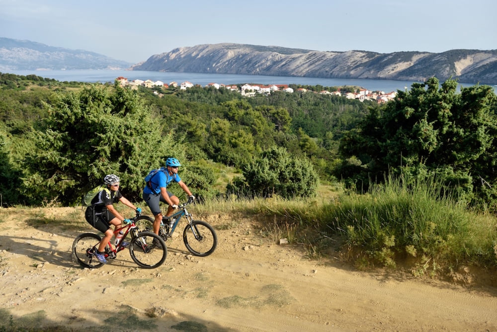
This interesting trail starts in Lopar, near the Rajska (“heavenly”) beach.
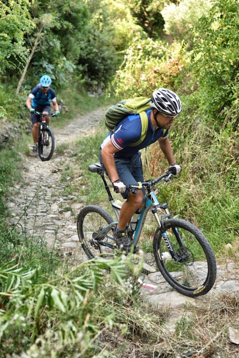
By taking this trail you will get an insight into the diversity of the island and its changing terrain. From the initial kilometres with sandy surface and overlooking the Velebit canal, all the way to the terrain changing into the rocky and clay soil.
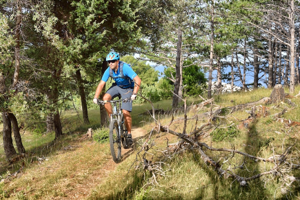
Definitely an interesting trail from the riding point of view. Moderately demanding in terms of technical and physical difficulty, the trail provides a foundation for an excellent mtb ride to experienced cyclists and to those wishing to become experienced.
Ova zanimljiva ruta počinje u Loparu, u neposrednoj blizini Rajske plaže.
Prolazeći ovom stazom dobit ćete uvid u raznolikost otoka i promjene terena. Od početnih kilometara s pogledom na velebitski kanal i pjeskovitom podlogom pa sve do promjena u kamenito i zemljano tlo.
Iz aspekta vožnje, sigurno jedna zanimljiva staza. Umjereno tehnički i fizički zahtjevna, nudi podlogu za odličnu mtb vožnju iskusnijim biciklistima, ali i onima koji žele to postati.
Tour gallery
Tour map and elevation profile
Minimum height -3 m
Maximum height 143 m
More about the tour author
|
|
AdriaBikeHotels |
Comments

GPS tracks
Trackpoints-
GPX / Garmin Map Source (gpx) download
-
TCX / Garmin Training Center® (tcx) download
-
CRS / Garmin Training Center® (crs) download
-
Google Earth (kml) download
-
G7ToWin (g7t) download
-
TTQV (trk) download
-
Overlay (ovl) download
-
Fugawi (txt) download
-
Kompass (DAV) Track (tk) download
-
Track data sheet (pdf) download
-
Original file of the author (gpx) download
More about the tour author
|
|
AdriaBikeHotels |
Add to my favorites
Remove from my favorites
Edit tags
Open track
My score
Rate