
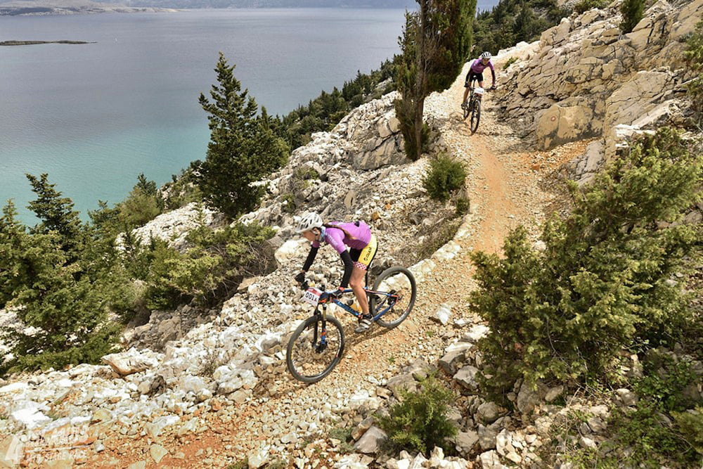

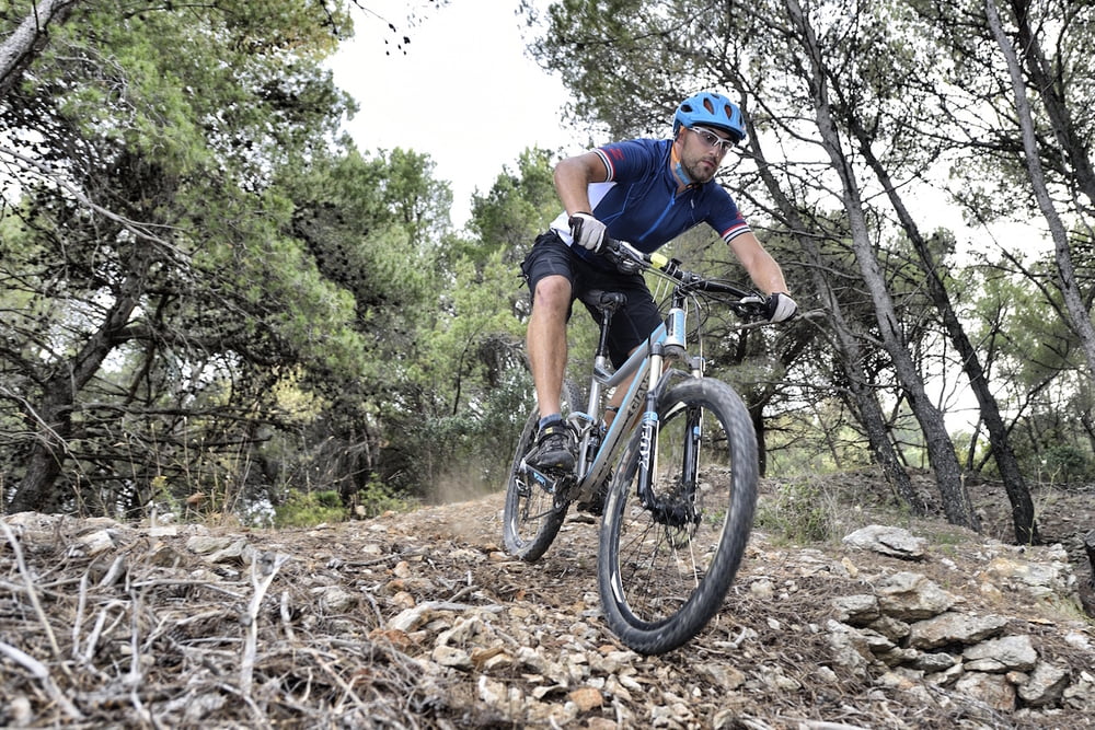
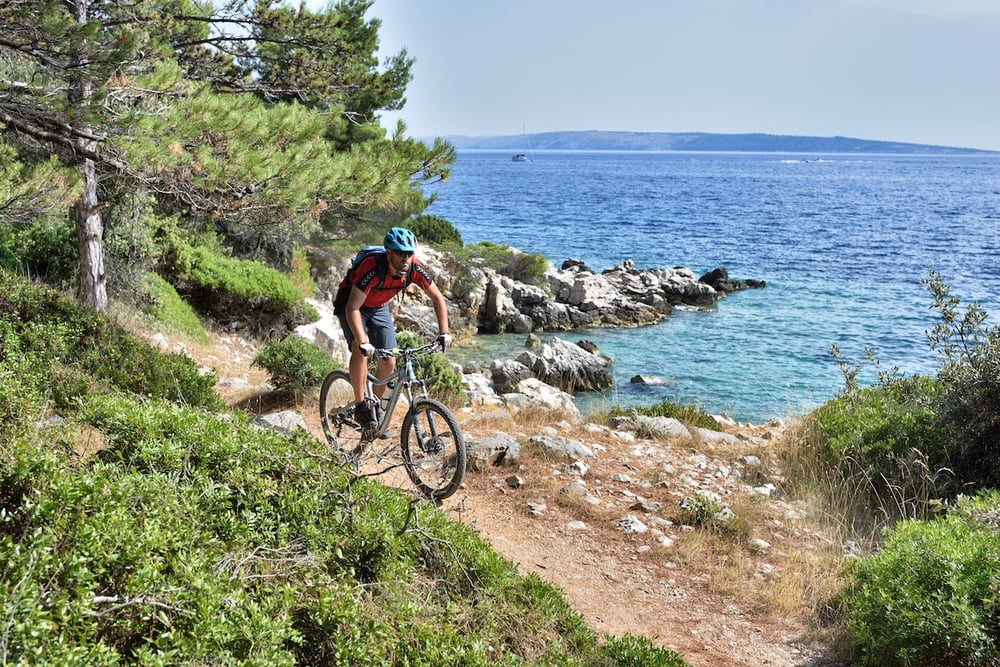
If we had to assign the "epic" epithet to any of the trails, this would definitely be the one. The trail that combines it all: the technical and physical difficulty, the diversity of the terrain, passing through hidden local paths, interesting landscapes, single-trails… It actually combines all the reasons why we love mtb.
When we add a fact that this trail is a part of a famous “4 Islands” mtb stage race, one could almost say that you will be going home enriched with experience in competing.
The trail is intended to the cyclists with moderate or good technical skills and in better fitness.
Ukoliko bismo nekoj stazi morali dodijeliti epitet “epic” rute, to je sigurno ova staza.
Staza koja objedinjuje sve: tehničku i fizičku zahtjevnost, raznovrsnost terena, prolaske skrivenim lokalnim putevima, zanimljivim pejzažima, single-trailovima… Zapravo ob-jedinjuje sve zbog čega volimo mtb.
Kad tome dodamo činjenicu da je navedena staza ujedno i dio poznate etapne utrke “4 Islands”, možemo reći da će iskustvo koje ponesete kući imati i natjecateljski predznak.
Staza je namijenjena biciklistima umjerene ili bolje tehničke spreme s boljom kondicijskom pripremom.
Tour gallery
Tour map and elevation profile
Minimum height -3 m
Maximum height 143 m
More about the tour author
|
|
AdriaBikeHotels |
Comments

GPS tracks
Trackpoints-
GPX / Garmin Map Source (gpx) download
-
TCX / Garmin Training Center® (tcx) download
-
CRS / Garmin Training Center® (crs) download
-
Google Earth (kml) download
-
G7ToWin (g7t) download
-
TTQV (trk) download
-
Overlay (ovl) download
-
Fugawi (txt) download
-
Kompass (DAV) Track (tk) download
-
Track data sheet (pdf) download
-
Original file of the author (gpx) download
More about the tour author
|
|
AdriaBikeHotels |
Add to my favorites
Remove from my favorites
Edit tags
Open track
My score
Rate