


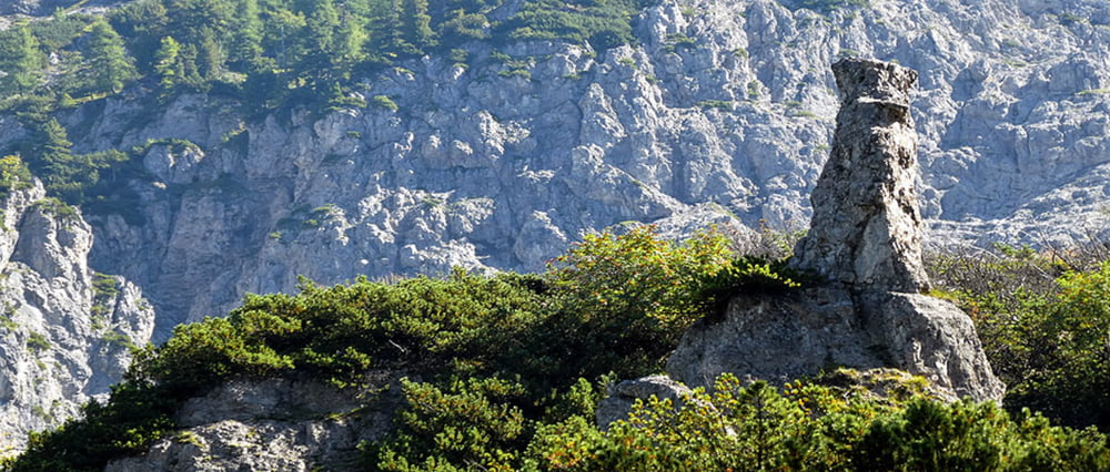
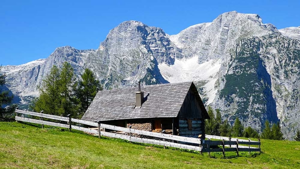
Sehr schöne Panoramatour , abwechslungsreich . Trittsicherheit und Schwindelfreiheit sollte vorhanden sein. Der Name Dolomitensteig kommt vom Dolomitengestein auf das Sie hier in Form von ganz bizarren Felsformationen treffen.
Genauere Infos und Bilder zur Tour erhalten Sie im unten angeführten Link.
Further information at
http://www.satcom.at/stoderer-dolomitensteig-2/Tour gallery

Tour map and elevation profile
Minimum height 716 m
Maximum height 1406 m
More about the tour author
|
|
GarminSalzburg |
Comments

Großer Parkplatz am Ausgangspunkt Baumschlagerreith
GPS tracks
Trackpoints-
GPX / Garmin Map Source (gpx) download
-
TCX / Garmin Training Center® (tcx) download
-
CRS / Garmin Training Center® (crs) download
-
Google Earth (kml) download
-
G7ToWin (g7t) download
-
TTQV (trk) download
-
Overlay (ovl) download
-
Fugawi (txt) download
-
Kompass (DAV) Track (tk) download
-
Track data sheet (pdf) download
-
Original file of the author (gpx) download
More about the tour author
|
|
GarminSalzburg |
Add to my favorites
Remove from my favorites
Edit tags
Open track
My score
Rate