


Endurotour am Höhenzug der Paganella von Molvena aus
von Molveno 800m auf Fahrweg zum Gipfel der Paganella 2120m, dabei kurzes Schiebestück von ca. 30hm. Alternativ von Andallo mit Lift zur Paganella (Bikefreundliches Gebiet mit Tageskarten, Stundenkarten für MTB, Einzelfahrten - Molvenokarte beim Vermieter mitnehmen)
Anfangs auf und ab zum Gipfel des Candefin 2030m, je nach Kondition und Fahrtechnik (bergauf) fahrbar S2-S3, teilweise schmaler Weg. Vom Gipfel des Candefin hinunter nach Molveno S1- S2, Passagen S3. Der Weg ins Tal ist der Sentiero de la Mars No 644. Ein sehr schöner nicht zu steiler Trail S2, zum Schluß ausgesetzt (kurz schieben).
Auf ca. 1000m kommt man auf einen Fahrweg der zur Auffahrt führt. Ich hatte noch Zeit und bin nochmals ca. 400hm hochgefahren, zum 605/612 Wanderweg (secret trail).
Eine lohnende Tour für Leute die auch mal gerne Trails bergauf fahren (bis Candefin), nach dem Candefin ein Wiesentrail und dann ins Tal ein ausgesprochener Sahnetrail.
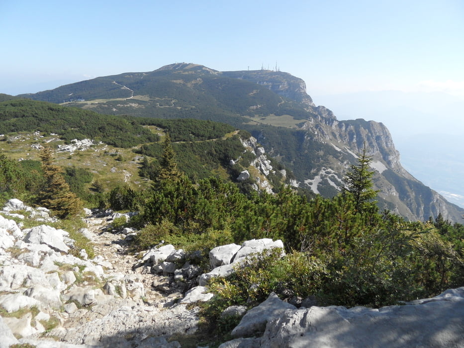
Tour gallery


Tour map and elevation profile
Minimum height 826 m
Maximum height 2120 m
More about the tour author
|
|
skyhopper |
Comments

parken am Seeufer kurz bevor der Trail den Hang hochgeht, in Moveno teueres parken
GPS tracks
Trackpoints-
GPX / Garmin Map Source (gpx) download
-
TCX / Garmin Training Center® (tcx) download
-
CRS / Garmin Training Center® (crs) download
-
Google Earth (kml) download
-
G7ToWin (g7t) download
-
TTQV (trk) download
-
Overlay (ovl) download
-
Fugawi (txt) download
-
Kompass (DAV) Track (tk) download
-
Track data sheet (pdf) download
-
Original file of the author (gpx) download
More about the tour author
|
|
skyhopper |
Add to my favorites
Remove from my favorites
Edit tags
Open track
My score
Rate