

Liftunterstütze Wanderung an der Paganella
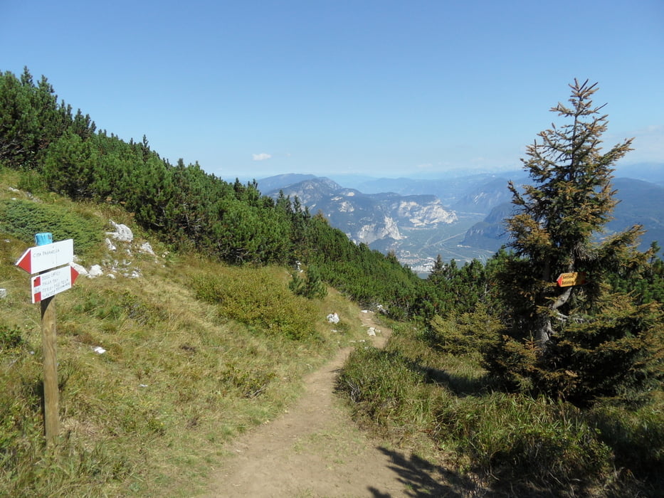
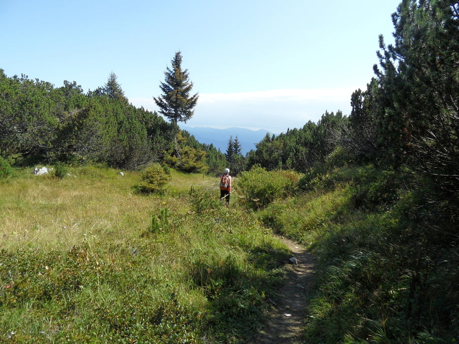
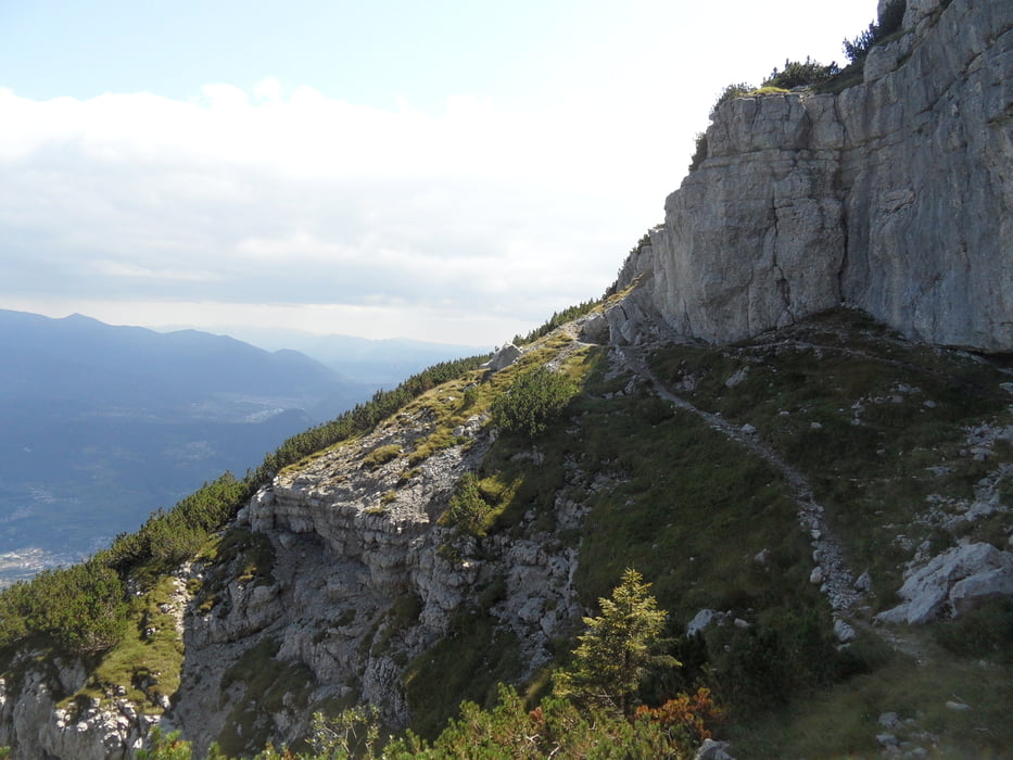
anfangs vom Lift auf Fahrweg zum Rifugio Dosso Larici 1844m, ab da auf schönem Trail an Hangkante zu den Antennen an der Paganella. Kurz vor der Antenne geht der Weg links, der ist alpin (Seil an Kante und zum Schluß 2Stahltritte um 2m hochzukommen), wer nicht schwindelfrei ist sollte rechts gehen.
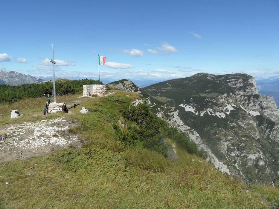
Die Paganella mit Lift und Wirtschaft haben wir ausgelassen, kann man mit 20min dazumachen (Güterweg). Nach den Antennen kommt eine schöne Stelle zur Pause.
Weiter dann am Kantenweg zum Passa Antoine, von dort zum Lift zurück.
Tour gallery
Tour map and elevation profile
Minimum height 1060 m
Maximum height 2091 m
More about the tour author
|
|
skyhopper |
Comments

parken am Lift in Andallo
GPS tracks
Trackpoints-
GPX / Garmin Map Source (gpx) download
-
TCX / Garmin Training Center® (tcx) download
-
CRS / Garmin Training Center® (crs) download
-
Google Earth (kml) download
-
G7ToWin (g7t) download
-
TTQV (trk) download
-
Overlay (ovl) download
-
Fugawi (txt) download
-
Kompass (DAV) Track (tk) download
-
Track data sheet (pdf) download
-
Original file of the author (gpx) download
More about the tour author
|
|
skyhopper |
Add to my favorites
Remove from my favorites
Edit tags
Open track
My score
Rate