


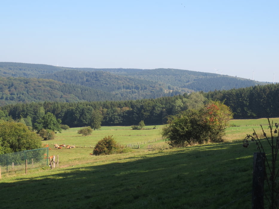
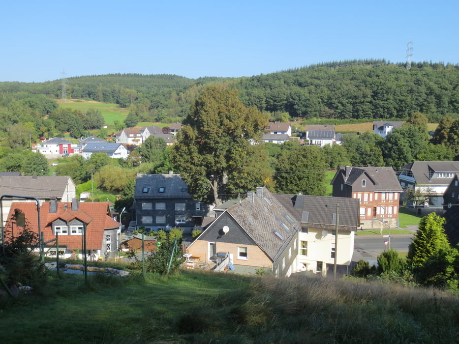
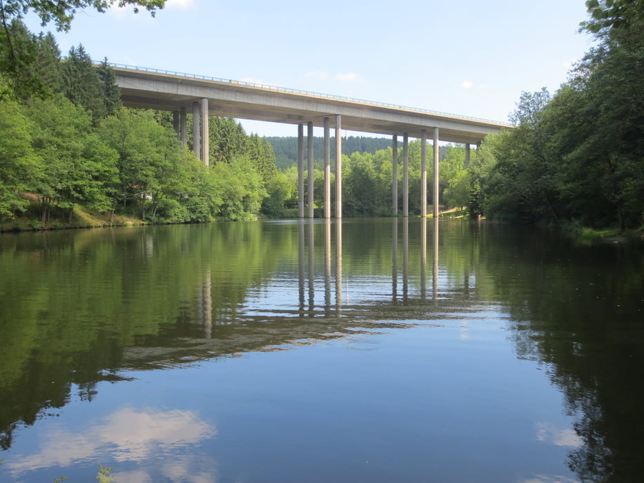
Kurzkarakteristik: abwechslungsreiche, nicht zu anspruchsvolle Tour mit einigen Trailanteilen.
Von Haiger- Allendorf aus fahren wir auf Feld und Radwegen Richung Roßbachtal und biegen, nachdem wir die Autobahnbrücke hinter uns gelassen haben auf den Radweg nach Steinbach. Der Radweg und weitere Forstwege bringen uns nach 7 km auf die Kalteiche. Nun kommt eine lange Abfahrt. Sie bringt uns auf Forst, Feld und Radwegen bis nach Neunkirchen. Weiter geht es ganz entspannt auf Rad und Nebenwegen bis Burbach. Bergauf geht es nun bis auf die Höhe oberhalb von Holzhausen, hinunter in den Ort und weiter Richtung Flammersbach. Hinter dem Bahnviadukt geht es links ab auf einen Feldweg und weiter auf einem Trail zurück nach Haiger.
Tour gallery

Tour map and elevation profile
Minimum height 275 m
Maximum height 554 m
More about the tour author
|
|
baumgarten |
Comments

GPS tracks
Trackpoints-
GPX / Garmin Map Source (gpx) download
-
TCX / Garmin Training Center® (tcx) download
-
CRS / Garmin Training Center® (crs) download
-
Google Earth (kml) download
-
G7ToWin (g7t) download
-
TTQV (trk) download
-
Overlay (ovl) download
-
Fugawi (txt) download
-
Kompass (DAV) Track (tk) download
-
Track data sheet (pdf) download
-
Original file of the author (gpx) download
More about the tour author
|
|
baumgarten |
Add to my favorites
Remove from my favorites
Edit tags
Open track
My score
Rate