


Parkmöglichkeit gibt es in Dreistetten, gleich neben dem Sportplatz.
Startpunkt der Tour
33 T 582230 5300744
oder
N 47.85473
E 16.09927
N 47.85473
E 16.09927
Die Hunde lässt man Anfangs besser an der Leine, weil noch glückliche Kühe neben dem Weg grasen.
Die Steige, die es hier gibt habe ich links liegen lassen, da das mit Hunden nicht machbar ist. Eine Rastpause gab es dann beim Hergottschnitzerhaus und dann machte ich mich
wieder an den Abstieg.
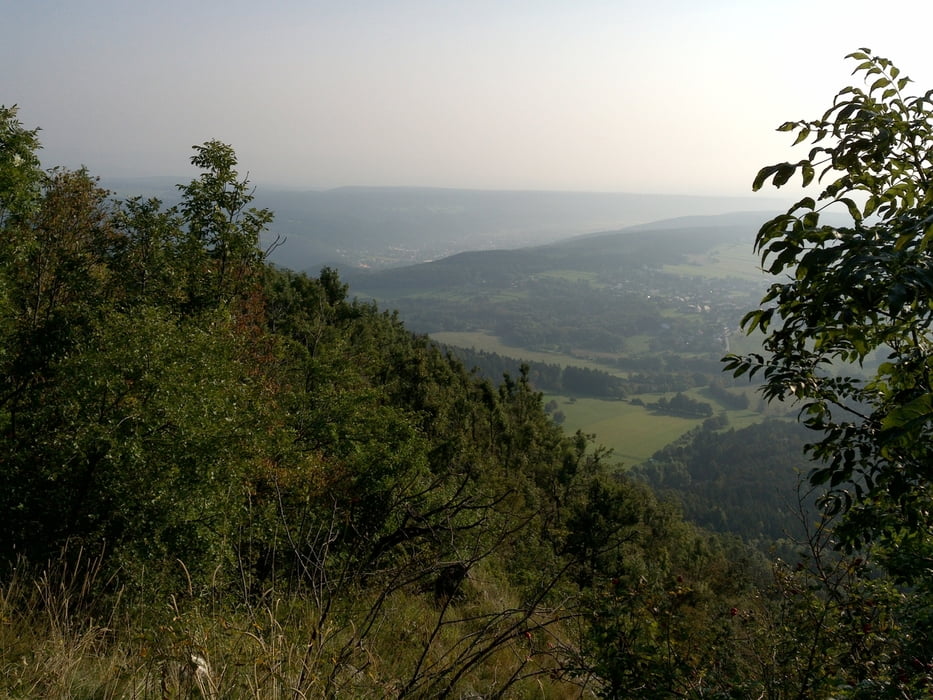
Alles in allem ein kleiner Ausflug durch die wunderschöne Natur.
Im Sommer ist es in der Früh, zeitig am Morgen am schönsten.
Kein Mensch unterwegs, wenn man die Einsamkeit liebt......
weitere Bilder unter:
https://www.flickr.com/gp/143562872@N02/67j2bJ
Tour gallery

Tour map and elevation profile
Minimum height 541 m
Maximum height 801 m
More about the tour author
|
|
elifo |
Comments

Entweder über Markt Piesting (A2, Abfahrt Wöllersdorf) zu erreichen oder aber über Bad Fischau-Brunn.
GPS tracks
Trackpoints-
GPX / Garmin Map Source (gpx) download
-
TCX / Garmin Training Center® (tcx) download
-
CRS / Garmin Training Center® (crs) download
-
Google Earth (kml) download
-
G7ToWin (g7t) download
-
TTQV (trk) download
-
Overlay (ovl) download
-
Fugawi (txt) download
-
Kompass (DAV) Track (tk) download
-
Track data sheet (pdf) download
-
Original file of the author (gpx) download
More about the tour author
|
|
elifo |
Add to my favorites
Remove from my favorites
Edit tags
Open track
My score
Rate