

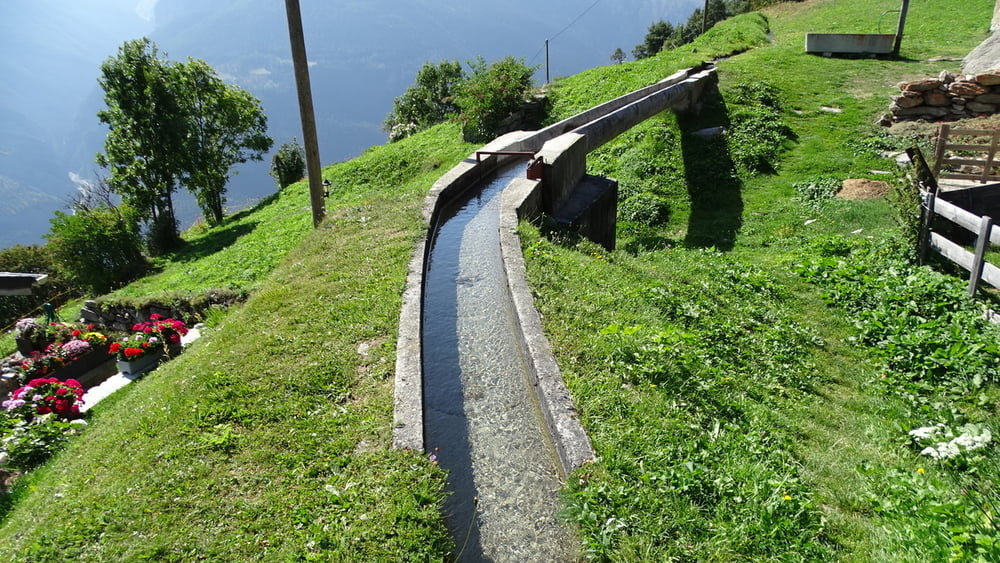
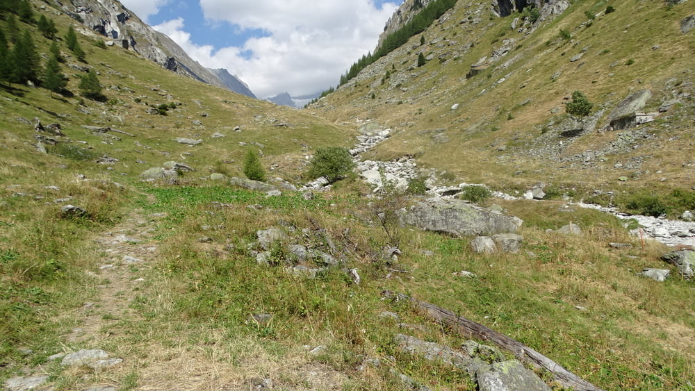
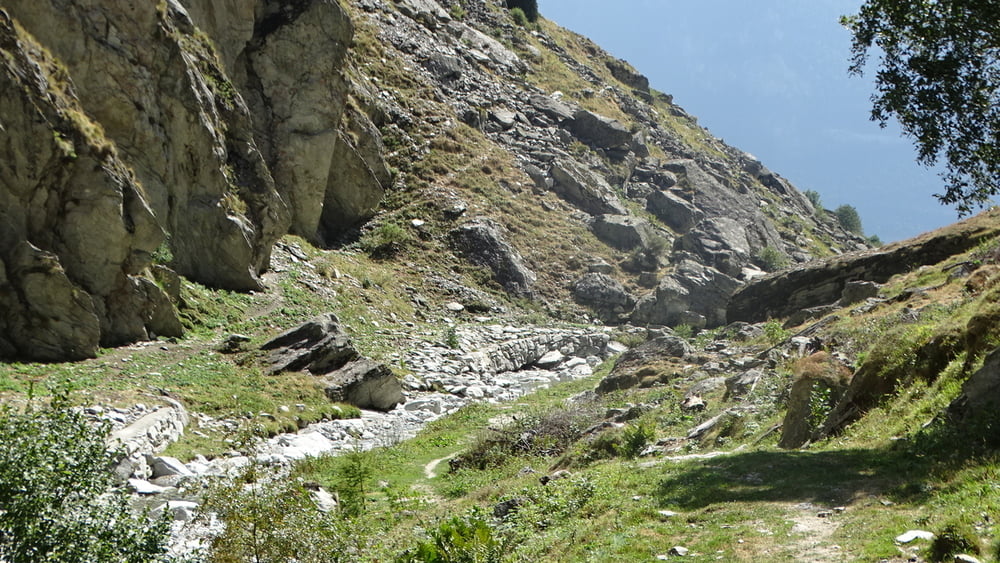
Auf dem Parkplatz nahe der Kirche stellten wir unser Auto ab. Wir folgten der Ausschilderung Richtung Gredetschtal. Wir folgen den Wanderweg bis wir zu einem Tunnel kommen. Unterwegs gibt es eine schöne Aussicht auf Rosswald und dem Matterhorn. Für den 1 km langen Tunnel (nicht besonders beleuchtet) ist eine Tachenlampe zu empfehlen. Oberhalb gibt es einen Suonenweg. Die nächste Möglichkeit nach rechts ins Tal zum Abstieg abbiegen. Jetzt haben wir die Streckenbewertung T 2. Man kommt zur Suone Stiegwasser. Ihr entlang gehen wir wieder nach Mund.
Tour gallery

Tour map and elevation profile
Minimum height 1191 m
Maximum height 1488 m
More about the tour author

|
civap |
Comments

In Brig ist das Dorf Mund ausgeschildert. Der Parkplatz lieg direkt an der Hauptstaße.
GPS tracks
Trackpoints-
GPX / Garmin Map Source (gpx) download
-
TCX / Garmin Training Center® (tcx) download
-
CRS / Garmin Training Center® (crs) download
-
Google Earth (kml) download
-
G7ToWin (g7t) download
-
TTQV (trk) download
-
Overlay (ovl) download
-
Fugawi (txt) download
-
Kompass (DAV) Track (tk) download
-
Track data sheet (pdf) download
-
Original file of the author (gpx) download
More about the tour author
|
|
civap |
Add to my favorites
Remove from my favorites
Edit tags
Open track
My score
Rate