


Am Morgen radelte ich auf meiner Lieblingsstrecke von Homburg Schwarzenbach nach Kirkel Neuhäusel.
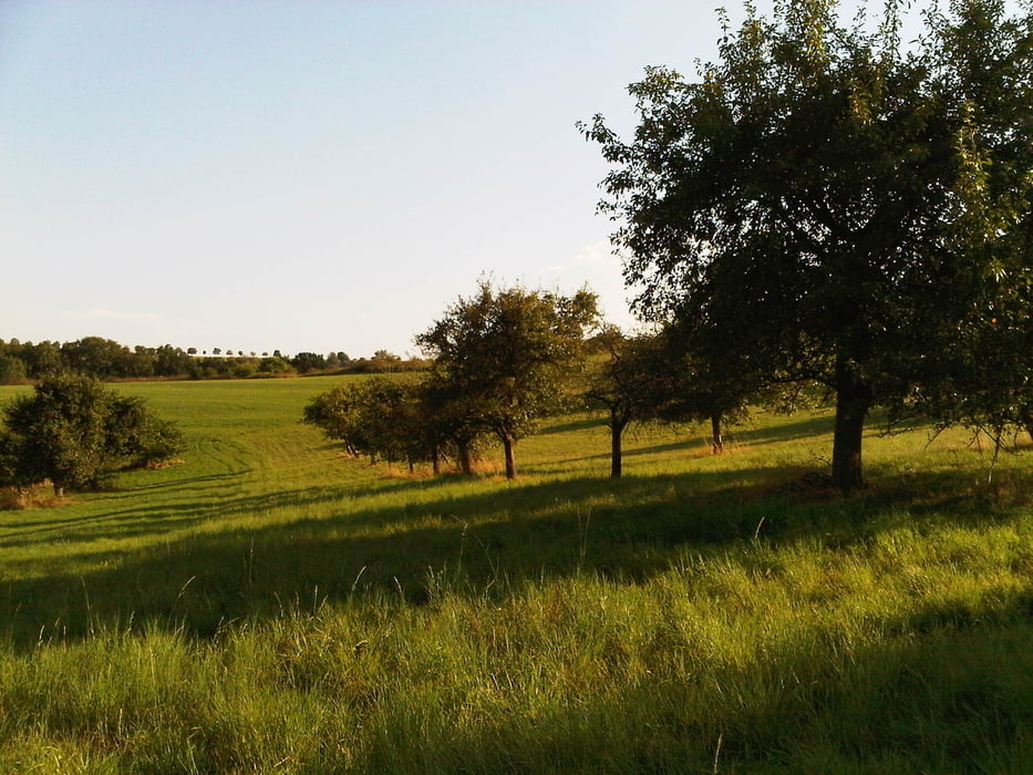
Nach getaner Arbeit fuhr ich durch den Ort und über den Kirkeler Wald in das Würzbachtal. In einem Bogen erreichte ich Alschbach das ich auf dem kleinen Sträßchen in Richtung Biesingen verließ.
Der Weg stieg gleich ordentlich bergan bis ich die Höhe des Rückens erreichte. Ich erreichte den Rand von Biesingen und fuhr die Straße nach Ballweiler ab.
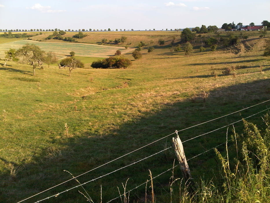
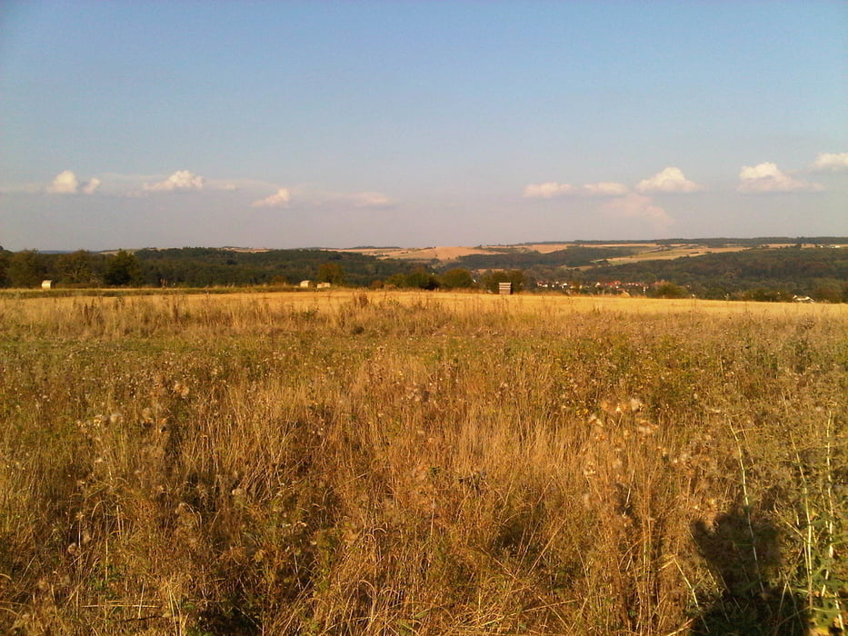
Dort verfehlte ich die anvisierte Abzweigung und musste etwas zurückradeln. Das hat sich gelohnt. Den Feldweg den ich von Ballweiler zur L232 verfolgte ist landschaftlich sehr schön. Ich fuhr dann nach Blickweiler weiter und vollends durch das Bliestal zu meinem Ausgangspunkt zurück.
Further information at
https://de.wikipedia.org/wiki/Biosph%C3%A4renreservat_BliesgauTour gallery

Tour map and elevation profile
Minimum height 223 m
Maximum height 363 m
More about the tour author
|
|
Pheinz |
Comments

Start und Ziel in Homburg Schwarzenbach.
GPS tracks
Trackpoints-
GPX / Garmin Map Source (gpx) download
-
TCX / Garmin Training Center® (tcx) download
-
CRS / Garmin Training Center® (crs) download
-
Google Earth (kml) download
-
G7ToWin (g7t) download
-
TTQV (trk) download
-
Overlay (ovl) download
-
Fugawi (txt) download
-
Kompass (DAV) Track (tk) download
-
Track data sheet (pdf) download
-
Original file of the author (gpx) download
More about the tour author
|
|
Pheinz |
Add to my favorites
Remove from my favorites
Edit tags
Open track
My score
Rate