


Am Morgen fuhr ich auf meiner Lieblingsstrecke von Homburg Schwarzenbach nach Kirkel Neuhäusel.
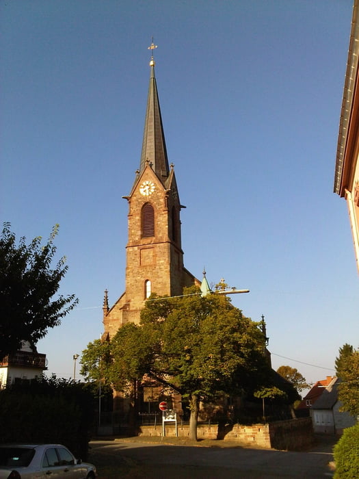
Am Abend nahm ich die Strecke durch Neuhäusel und dann am Wasserfelsen vorbei hoch zum Waldklassenzimmer.. Bei Peters Eiche fuhr ich in das Kirkeler Tal ab und weiter nach Lautzkirchen.
Nach einem Intermezzo im Wohngebiet fuhr ich auf dem Radweg weiter nach Niederwürzbach wo ich dann den Anstieg auf die Höhe in Angriff nahm.
Ich fuhr weiter nach Biesingen und von dort in Richtung Blieskastel an der B423 entlang. Bevor ich allerdings die etwas unangenehme Abfahrt auf dem dann schlecht ausgebauten Radweg fuhr, bog ich nach rechts ab um über den Kommandantsberg nach Blickweiler abzubiegen.
Im Bliestal fuhr ich nun mit einem kleinen Zwischenstopp in Blieskastel zu meinem Ausgangspunkt zurück.
Further information at
https://de.wikipedia.org/wiki/BliesgauTour gallery
Tour map and elevation profile
Minimum height 226 m
Maximum height 368 m
More about the tour author
|
|
Pheinz |
Comments

Start und Ziel in Homburg Schwarzenbach.
GPS tracks
Trackpoints-
GPX / Garmin Map Source (gpx) download
-
TCX / Garmin Training Center® (tcx) download
-
CRS / Garmin Training Center® (crs) download
-
Google Earth (kml) download
-
G7ToWin (g7t) download
-
TTQV (trk) download
-
Overlay (ovl) download
-
Fugawi (txt) download
-
Kompass (DAV) Track (tk) download
-
Track data sheet (pdf) download
-
Original file of the author (gpx) download
More about the tour author
|
|
Pheinz |
Add to my favorites
Remove from my favorites
Edit tags
Open track
My score
Rate