


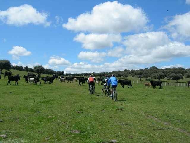
Ruta en MTB que discurre por una de las antiguas Cañadas Reales Españolas,concretamente la Cañada Real Soriana vertiente occidental. Estas rutas eran tradicionalmente utilizadas por la trashumancia.
Saliendo de Logroño y pasando por Villoslada de Cameros, Burgo de Osma, Prádena, Segovia, Avila, Guijo de Avila, Villaobispo y finalmente Cáceres.
Existe un libro de la editorial Pais-Aguilar en el que se explica la ruta con mapas... pero sin track será muy complicado seguirla puesto que hay muchos, muchos cruces.
Further information at
http://antequerae.spaces.live.com/?_c11_BlogPart_BlogPart=summary&_c=BlogPartTour gallery
Tour map and elevation profile
Minimum height
Maximum height 1757 m
More about the tour author
|
|
Kikemontanbike |
Comments
GPS tracks
Trackpoints-
GPX / Garmin Map Source (gpx) download
-
TCX / Garmin Training Center® (tcx) download
-
CRS / Garmin Training Center® (crs) download
-
Google Earth (kml) download
-
G7ToWin (g7t) download
-
TTQV (trk) download
-
Overlay (ovl) download
-
Fugawi (txt) download
-
Kompass (DAV) Track (tk) download
-
Track data sheet (pdf) download
-
Original file of the author (gpx) download
More about the tour author
|
|
Kikemontanbike |
Add to my favorites
Remove from my favorites
Edit tags
Open track
My score
Rate
Bonito