


Grüni und seine Manne hatten wieder einen wunderschönen Tag im Markgräflerland.
Gestartet wurde am Kreuzweg.
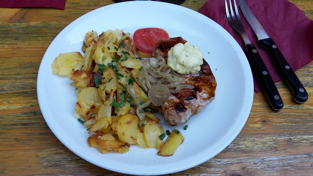
Über die Kälblescheuer, wo wir unseren Frühschoppen zu uns nahmen, ging es zur Ziegelhofstraußi wo ein üppiges Mittagsmahl eingenommen wurde. Am Wasserturm in Heitersheim wurde der leckere Gutedel verkostet und weitere Schorle wurden in der Sulzbachstraußi z´Heitersche getrunken.
Unterwegs hatte Felix wieder leckeren Wein und andere Köstlichkeiten im Wald für uns deponiert.
Vielen Dank Felix! Du bist ein super Kamerad :-)
Wir freuen uns auf´s nächste Jahr.
Further information at
http://www.zum-ziegelhof.de/ziegelhofstraussi.htmTour gallery


Tour map and elevation profile
Minimum height 243 m
Maximum height 1100 m
More about the tour author
|
|
Tom19 |
Comments

siehe Daten
GPS tracks
Trackpoints-
GPX / Garmin Map Source (gpx) download
-
TCX / Garmin Training Center® (tcx) download
-
CRS / Garmin Training Center® (crs) download
-
Google Earth (kml) download
-
G7ToWin (g7t) download
-
TTQV (trk) download
-
Overlay (ovl) download
-
Fugawi (txt) download
-
Kompass (DAV) Track (tk) download
-
Track data sheet (pdf) download
-
Original file of the author (gpx) download
More about the tour author
|
|
Tom19 |
Add to my favorites
Remove from my favorites
Edit tags
Open track
My score
Rate