


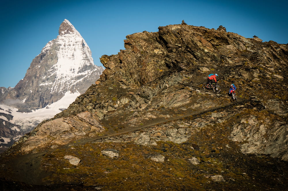
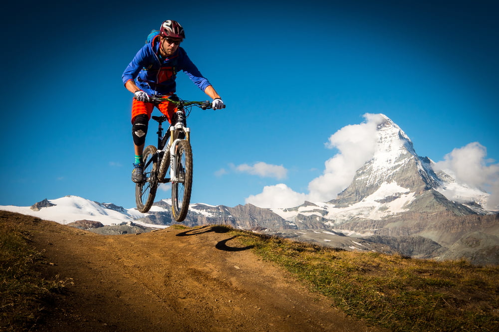
Ein absolutes Highlight in Zermatt. Der Trail varriert zwischen Steinig über Flowig bis verblockt. Die sehr technischen Passagen sind aber in der Minderheit. Am besten am Abend fahren wenn keine Wanderer unterwegs sind.
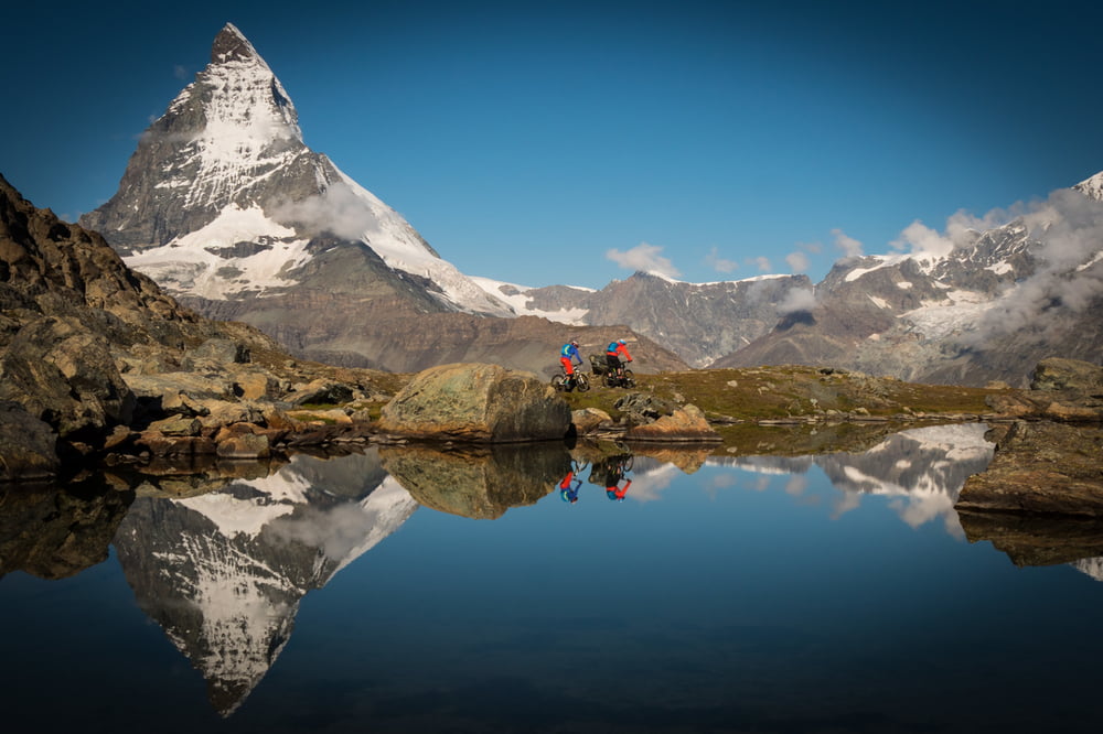
Lust auf noch mehr Trailspaß in der Bikeregion Zermatt? Die Supertrailmap Zermatt im Maßstab 1:25 000 verrät Dir echtes Insiderwissen und lässt keine Wünsche offen. Versprochen!
Weitere Infos zu den Supertrail Maps findest Du >>hier
... zu einem kurzen Video zu unseren Supertrail Maps ...
Further information at
https://www.facebook.com/supertrailmapTour gallery
Tour map and elevation profile
Minimum height 99999 m
Maximum height -99999 m
More about the tour author

|
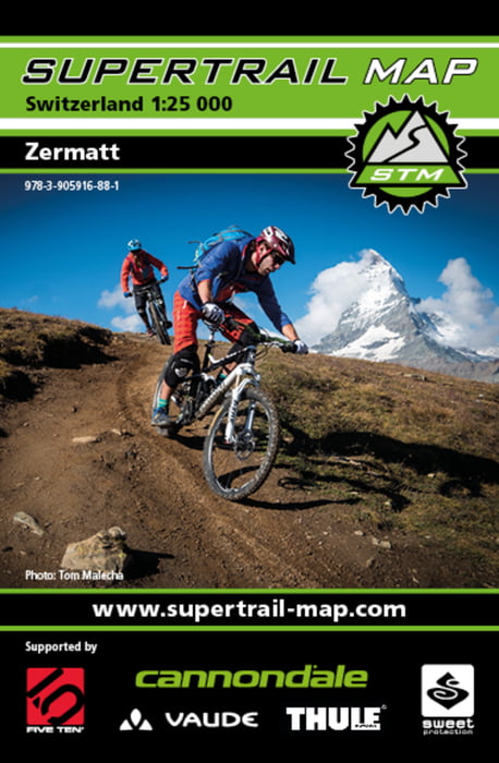
Supertrail-Map |
Comments

Mit dem PKW bis zum Parkplatz in Täsch, von dort mit der Bahn bis zum Startpunkt der Tour bei der Bergstation Gornergrat.
GPS tracks
Trackpoints-
GPX / Garmin Map Source (gpx) download
-
TCX / Garmin Training Center® (tcx) download
-
CRS / Garmin Training Center® (crs) download
-
Google Earth (kml) download
-
G7ToWin (g7t) download
-
TTQV (trk) download
-
Overlay (ovl) download
-
Fugawi (txt) download
-
Kompass (DAV) Track (tk) download
-
Track data sheet (pdf) download
-
Original file of the author (gpx) download
More about the tour author
|
|
Supertrail-Map |
Add to my favorites
Remove from my favorites
Edit tags
Open track
My score
Rate