


Eine sportliche Rennrad-Tour. Gefahren wird gut die Hälfte auf gute Radwege und ruhige Nebenstraßen belohnt wird man mit wunderbare Panoramen ins Maintal und weit nach Oberfranken.
Gestartet wird in Zeil am Main in südliche Richtung. Über den Main nach Sand weiter nach Zell an den Weinbergen vorbei und hoch zum Steigerwald nach Unterschleichach. Im Aurachtal ist es ein welliges dahinradeln bis nach nach Trabelsdorf. Nach dem Ortsende den Berg hoch nach Tütschengereth und dann runter nach Troßdorf. Im Maintal den Radweg nach Zeil zurück.
Gestartet wird in Zeil am Main in südliche Richtung. Über den Main nach Sand weiter nach Zell an den Weinbergen vorbei und hoch zum Steigerwald nach Unterschleichach. Im Aurachtal ist es ein welliges dahinradeln bis nach nach Trabelsdorf. Nach dem Ortsende den Berg hoch nach Tütschengereth und dann runter nach Troßdorf. Im Maintal den Radweg nach Zeil zurück.
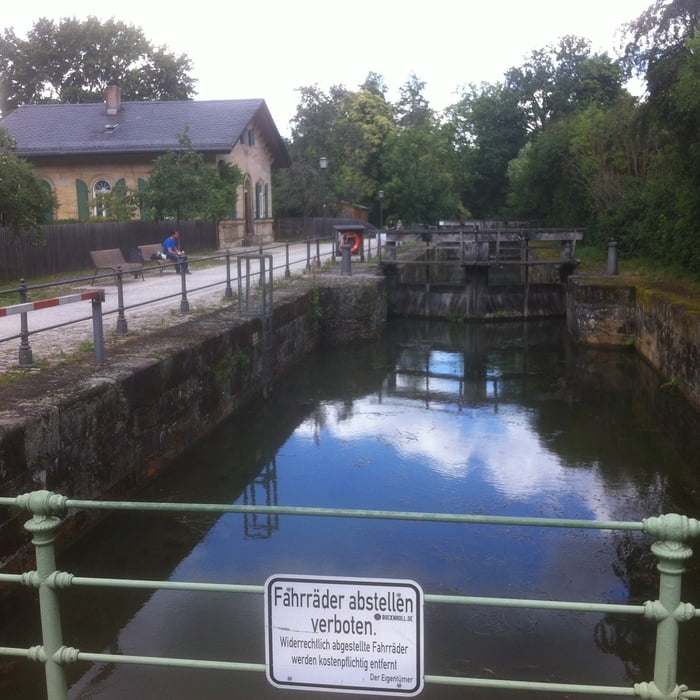
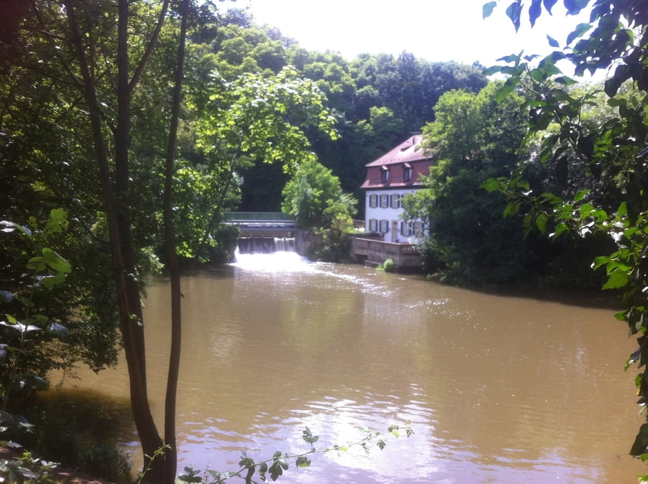
Tour gallery
Tour map and elevation profile
Minimum height 221 m
Maximum height 352 m
More about the tour author
|
|
Astro |
Comments

Zeil am Main, zwischen Schweinfurt und Bamberg, mit dem Zug oder über die BAB gut zu erreichen
GPS tracks
Trackpoints-
GPX / Garmin Map Source (gpx) download
-
TCX / Garmin Training Center® (tcx) download
-
CRS / Garmin Training Center® (crs) download
-
Google Earth (kml) download
-
G7ToWin (g7t) download
-
TTQV (trk) download
-
Overlay (ovl) download
-
Fugawi (txt) download
-
Kompass (DAV) Track (tk) download
-
Track data sheet (pdf) download
-
Original file of the author (gpx) download
More about the tour author
|
|
Astro |
Add to my favorites
Remove from my favorites
Edit tags
Open track
My score
Rate