


Eine sportliche Rennrad-Tour. Gefahren wird auf gute und ruhige Nebenstraßen. Belohnt wird man mit wunderbare Panoramen auf den Hassbergen, im Lautertal und im Maintal.
Los geht es in Zeil am Main in nördliche Richtung. Über Krum, an Altershausen vorbei nach Hofstetten. Oben, nach dem Anstieg auf die Hassberghöhen rechts ab, ein Stück aphaltierter Rennweg nach Brühl bis Köslau. Im Ort links weiter nach Pettstadt und Kirchlauter. Da am Ortsende ins Lautertal vor bis Appendorf. Hier noch mal ein letzter Anstieg nach Oberhaid. Im Maintal via Stettfeld nach Zeil zurück
Los geht es in Zeil am Main in nördliche Richtung. Über Krum, an Altershausen vorbei nach Hofstetten. Oben, nach dem Anstieg auf die Hassberghöhen rechts ab, ein Stück aphaltierter Rennweg nach Brühl bis Köslau. Im Ort links weiter nach Pettstadt und Kirchlauter. Da am Ortsende ins Lautertal vor bis Appendorf. Hier noch mal ein letzter Anstieg nach Oberhaid. Im Maintal via Stettfeld nach Zeil zurück
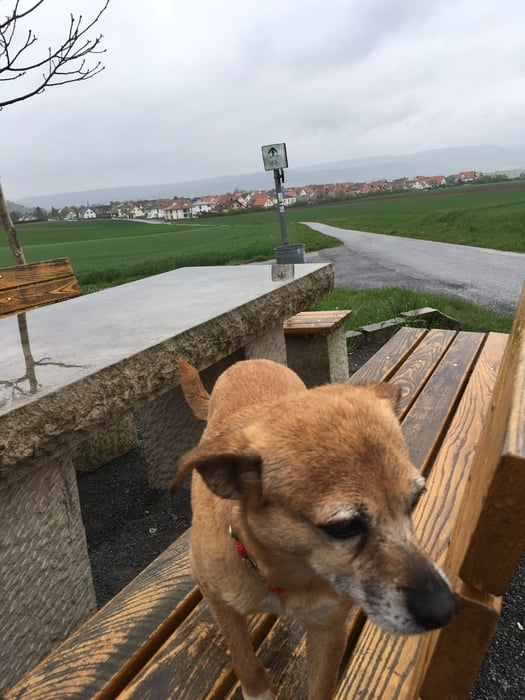
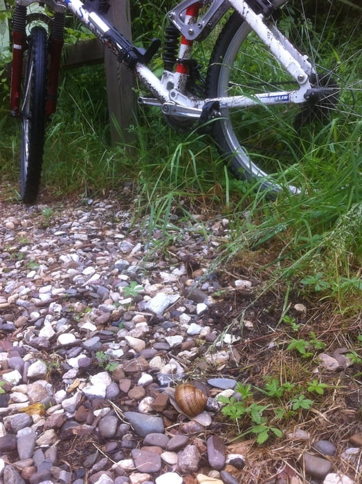
Tour gallery
Tour map and elevation profile
Minimum height 218 m
Maximum height 460 m
More about the tour author
|
|
Astro |
Comments

Zeil am Main, zwischen Schweinfurt und Bamberg, mit dem Zug oder über die BAB gut zu erreichen
GPS tracks
Trackpoints-
GPX / Garmin Map Source (gpx) download
-
TCX / Garmin Training Center® (tcx) download
-
CRS / Garmin Training Center® (crs) download
-
Google Earth (kml) download
-
G7ToWin (g7t) download
-
TTQV (trk) download
-
Overlay (ovl) download
-
Fugawi (txt) download
-
Kompass (DAV) Track (tk) download
-
Track data sheet (pdf) download
-
Original file of the author (gpx) download
More about the tour author
|
|
Astro |
Add to my favorites
Remove from my favorites
Edit tags
Open track
My score
Rate