


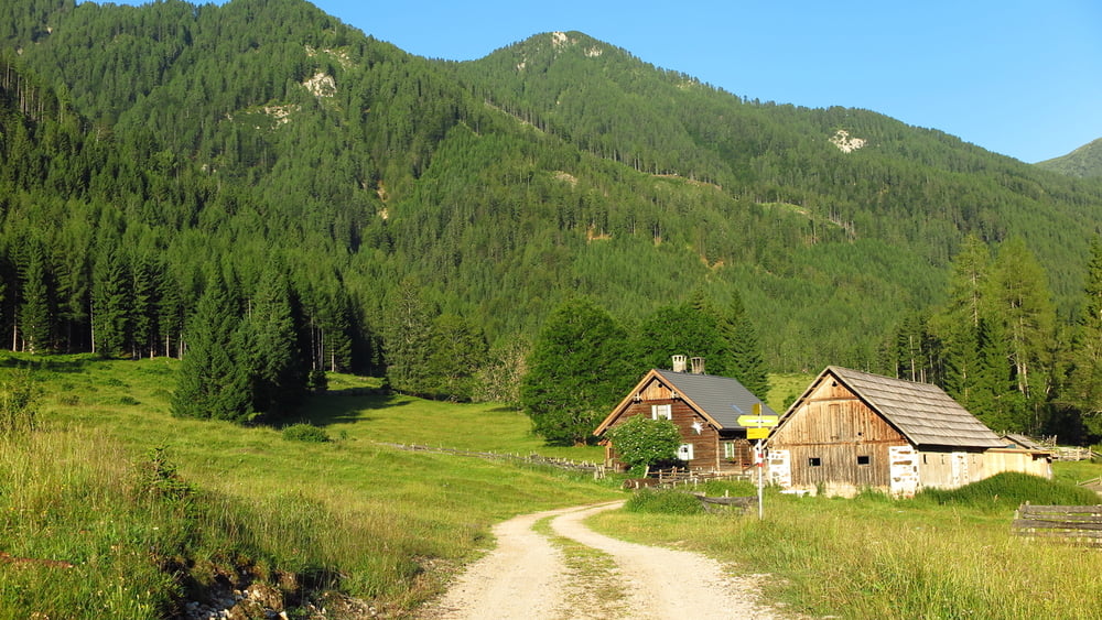
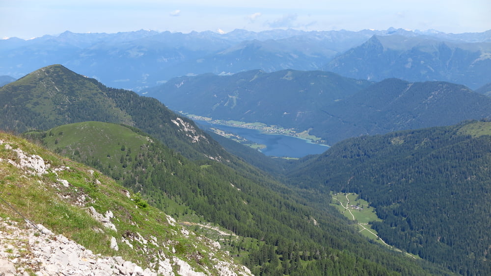
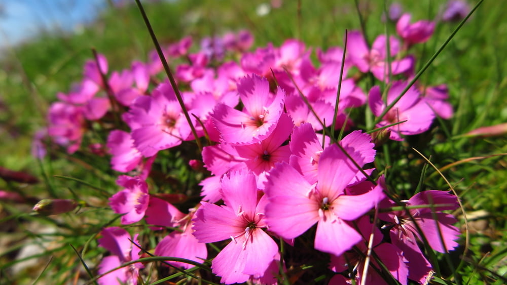
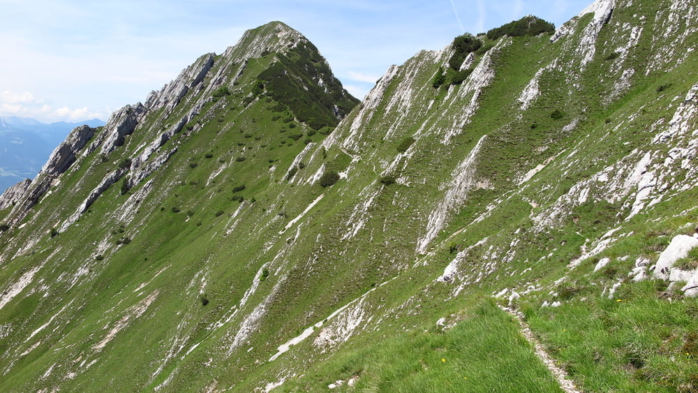
Bellissima e varia escursione, con bellissimi panorami.
Descrizione andata: Fischer alm - bivio prima di Hermagor Bodenalm 0,50 ora, Rudniger alm 1 ora, Obervellacher alm 1 ora, Spitzegel 1 ora.
Ritorno: Spitzegel - Vellacher Sattel 0,45 ore Fischer alm 1,25 ore
Tour gallery
Tour map and elevation profile
Minimum height 99999 m
Maximum height -99999 m
More about the tour author
|
|
sioni |
Comments

Seguire la Gaital str.B111 in direzione di Kreuzner Landesstrasse, oppure dalla A2 uscita Paternion la E66. Quindi la Fachernsee Landstrasse sino Weissenbach. Quindi per strada bianca sino alla Fscher alm.
GPS tracks
Trackpoints-
GPX / Garmin Map Source (gpx) download
-
TCX / Garmin Training Center® (tcx) download
-
CRS / Garmin Training Center® (crs) download
-
Google Earth (kml) download
-
G7ToWin (g7t) download
-
TTQV (trk) download
-
Overlay (ovl) download
-
Fugawi (txt) download
-
Kompass (DAV) Track (tk) download
-
Track data sheet (pdf) download
-
Original file of the author (gpx) download
More about the tour author
|
|
sioni |
Add to my favorites
Remove from my favorites
Edit tags
Open track
My score
Rate