


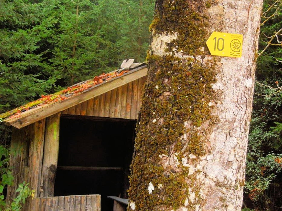
Rundweg bei Rothenstein (Erzweg Weg Nr. 10 mit Themenweg "Grubschwart")
Parken ist möglich am Wanderparkplatz in Rothenstein (Förstergasse bis zum Wanderparkplatz).
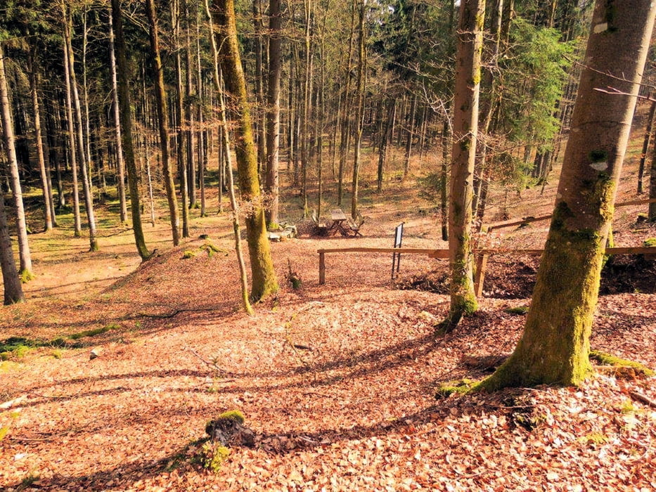
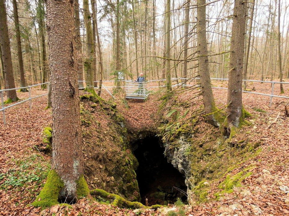
Auf diesem Rundweg durch den Weißenburger Forst ist sicherlich der Höhepunkt der Themenweg "Grubschwart". Dieser lohnt auf jeden Fall. Auf vielen Tafeln wird die Geschichte des Erzabbaus in der Region erklärt. Ein Rastplatz ist ebenfalls vorhanden.
Es gab mal eine APP fürs Smartphone für diesen Lehrpfad. Aber die finde ich nicht mehr.
Gerade (Stand 2016) werden etliche neue Windräder auf Abschnitten dieses Rundweges aufgestellt.
Viel Spaß beim entdecken
Further information at
https://de.wikipedia.org/wiki/GrubschwartTour gallery
Tour map and elevation profile
Minimum height 520 m
Maximum height 588 m
More about the tour author
|
|
Rezatfisch |
Comments

Mit dem Auto nach Rothenstein im Landkreis Weißenburg-Gunzenhausen zum Wanderparkplatz.
In der Förstergasse immer geradeaus zum Wald.
Fürs Auto Navi:
Förstergasse, 91781 Weißenburg in Bayern
GPS tracks
Trackpoints-
GPX / Garmin Map Source (gpx) download
-
TCX / Garmin Training Center® (tcx) download
-
CRS / Garmin Training Center® (crs) download
-
Google Earth (kml) download
-
G7ToWin (g7t) download
-
TTQV (trk) download
-
Overlay (ovl) download
-
Fugawi (txt) download
-
Kompass (DAV) Track (tk) download
-
Track data sheet (pdf) download
-
Original file of the author (gpx) download
More about the tour author
|
|
Rezatfisch |
Add to my favorites
Remove from my favorites
Edit tags
Open track
My score
Rate