


Es geht von Frickhofen nach Thalheim, Niederzeuzheim, Hadamar. Weiter nach Malmeneich, Hundsangen, Molsberg, Wallmerod, Salz, Girkenroth. Kurze Rast an den Windrädern und weiter über schöne Singles und Waldwege zur Blasiuskapelle. Hier eine kurze Riegelpause und die wunderbare Fernsicht geniessen. Weiter über den Zeltplatz, die Dornburg und zurück zum Bahnhof.
Further information at
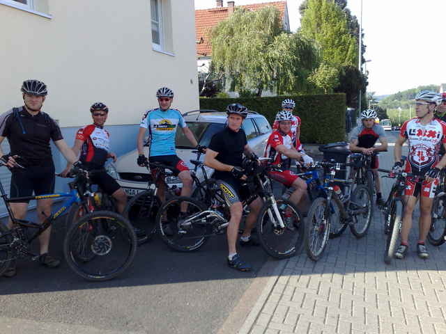
http://www.mtb-frickhofen.deTour gallery
Tour map and elevation profile
Minimum height 124 m
Maximum height 460 m
More about the tour author
|
|
mtb-frickhofen.de |
Comments

Dornburg - Frickhofen liegt ca. 20 Km nordwestlich von Limburg/Lahn.
Man erreicht es von der A3 kommend, Ausfahrt Limburg-Nord, auf die B49/54 in Richtung Gießen, nach ca. 5 KM wechselt man auf die B54 in Richtung Siegen, dann die 2. Ausfahrt nach Dornburg. Durch Niederzeuzheim, nächster Ort ist Frickhofen.
Man erreicht es von der A3 kommend, Ausfahrt Limburg-Nord, auf die B49/54 in Richtung Gießen, nach ca. 5 KM wechselt man auf die B54 in Richtung Siegen, dann die 2. Ausfahrt nach Dornburg. Durch Niederzeuzheim, nächster Ort ist Frickhofen.
GPS tracks
Trackpoints-
GPX / Garmin Map Source (gpx) download
-
TCX / Garmin Training Center® (tcx) download
-
CRS / Garmin Training Center® (crs) download
-
Google Earth (kml) download
-
G7ToWin (g7t) download
-
TTQV (trk) download
-
Overlay (ovl) download
-
Fugawi (txt) download
-
Kompass (DAV) Track (tk) download
-
Track data sheet (pdf) download
-
Original file of the author (gpx) download
More about the tour author
|
|
mtb-frickhofen.de |
Add to my favorites
Remove from my favorites
Edit tags
Open track
My score
Rate