


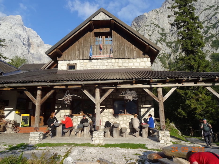
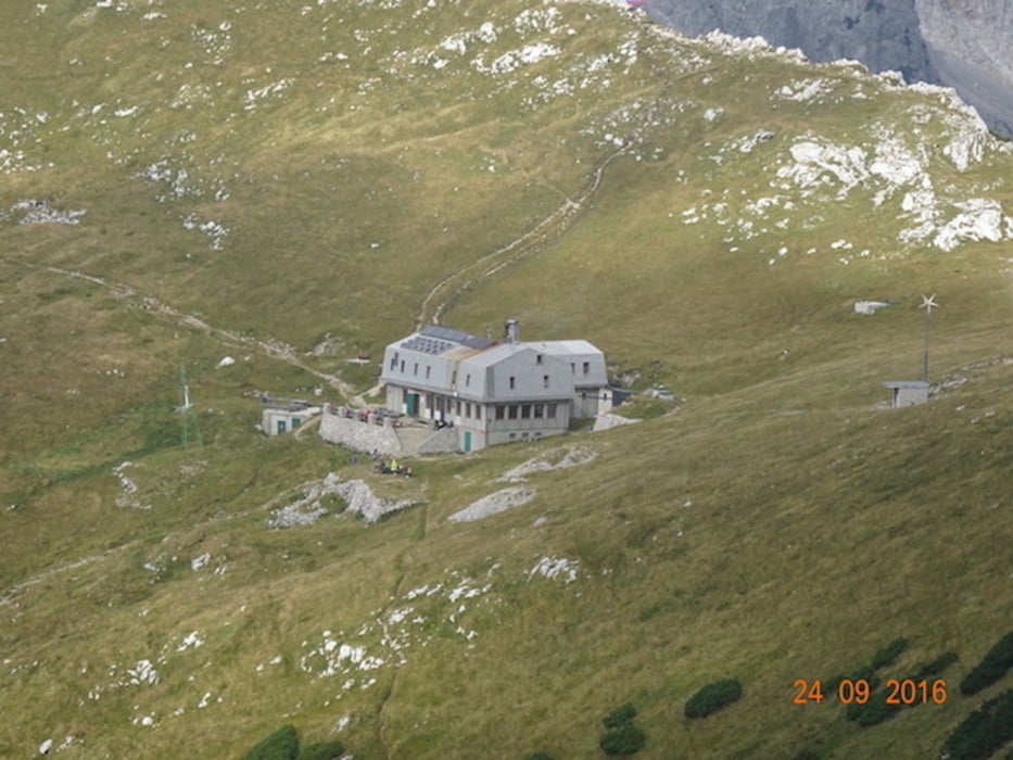
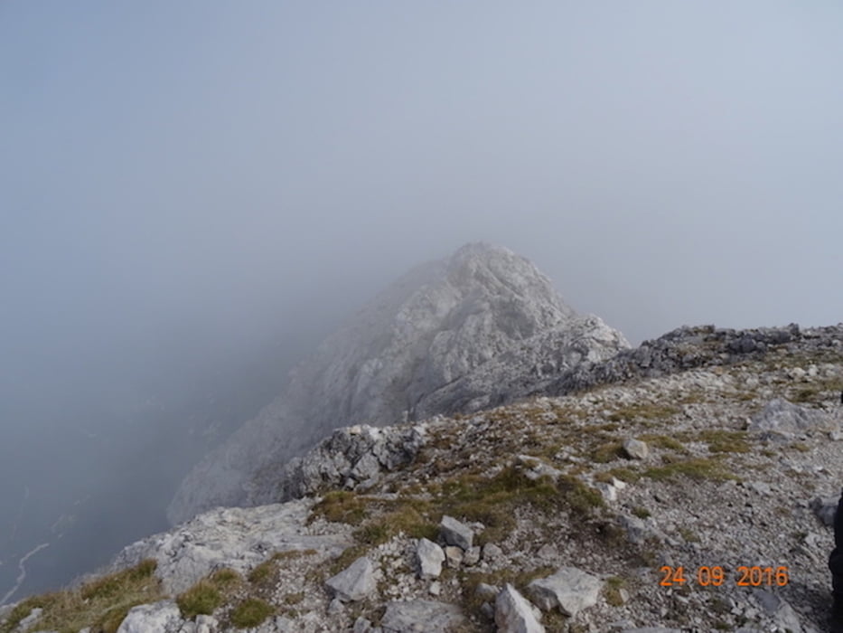
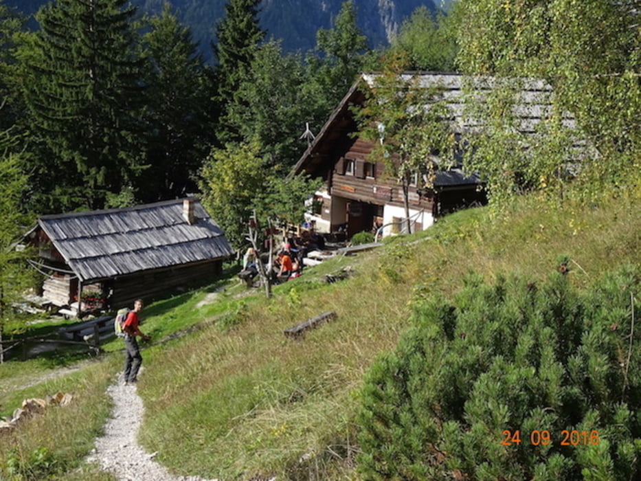
Am Ende des Logartales beim Wasserfall beginnt der Aufstieg zur Frischaufov-Hütte, wo es durch ein Kar zum Einstieg in die Wand Richtung Kaminsko-Hütte (1884 m) führt. Danach ist wieder eine Felswand zu durchqueren, bevor man zum unspektakulären Gipfel aufsteigt, wo man dann das herrliche Panorama der Julischen- und Steiner-Alpen genießen kann. Gute Kondition und Trittsicherheit ist für diese Tour erforderlich.
Tour gallery
Tour map and elevation profile
Minimum height 840 m
Maximum height 2392 m
More about the tour author
|
|
hermannkescher |
Comments

Anfanspunkt der Tour N46° 22.185' E14° 35.928'
Endpunkt der Tour N46° 23.023' E14° 37.303'
Zwischen Startpunkt und Endpunkt liegen ca. 3,5km
GPS tracks
Trackpoints-
GPX / Garmin Map Source (gpx) download
-
TCX / Garmin Training Center® (tcx) download
-
CRS / Garmin Training Center® (crs) download
-
Google Earth (kml) download
-
G7ToWin (g7t) download
-
TTQV (trk) download
-
Overlay (ovl) download
-
Fugawi (txt) download
-
Kompass (DAV) Track (tk) download
-
Track data sheet (pdf) download
-
Original file of the author (gpx) download
More about the tour author
|
|
hermannkescher |
Add to my favorites
Remove from my favorites
Edit tags
Open track
My score
Rate