


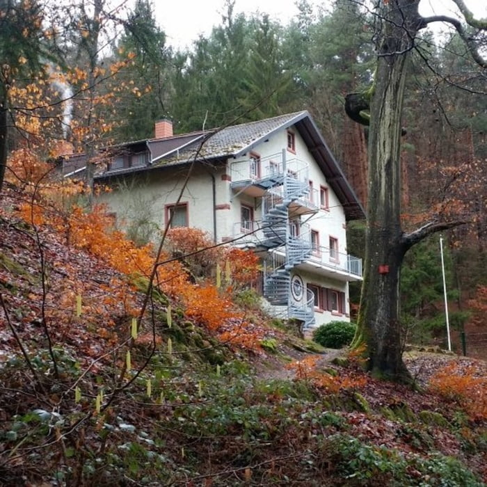
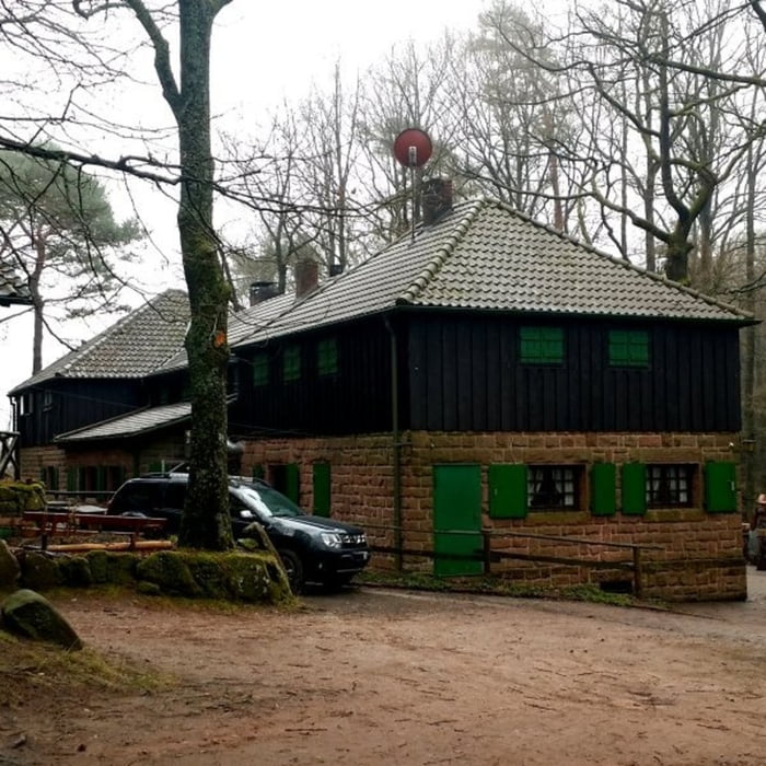
Ausgangspunkt ist der Parkplatz bei der Kaltenbrunnerhütte. Die gesamte Tour führt fast ausschließlich auf schönen gemütlichen Pfaden. Zunächst geht es zunächst bergauf über einen Bergrücken und anschließend wieder herunter zum Naturfreundehaus Heidenbrunnertal. Der Weg hoch zum Kaisergarten steigt über eine längere Strecke stetig an – wer möchte kann sich in der Schutzhütte erholen und stärken. Von dort geht es weiter zur Hellerhütte und wieder zurück zum Ausgangspunkt der Kaltenbrunnerhütte.
Tour gallery


Tour map and elevation profile
Minimum height 228 m
Maximum height 534 m
More about the tour author

|
isg13 |
Comments

GPS tracks
Trackpoints-
GPX / Garmin Map Source (gpx) download
-
TCX / Garmin Training Center® (tcx) download
-
CRS / Garmin Training Center® (crs) download
-
Google Earth (kml) download
-
G7ToWin (g7t) download
-
TTQV (trk) download
-
Overlay (ovl) download
-
Fugawi (txt) download
-
Kompass (DAV) Track (tk) download
-
Track data sheet (pdf) download
-
Original file of the author (gpx) download
More about the tour author
|
|
isg13 |
Add to my favorites
Remove from my favorites
Edit tags
Open track
My score
Rate